
Zion 2024 – Segment 1
November 6, 2024 § Leave a comment
The Grand Escalante Staircase. I am sure that most people have heard of it, but I am not really sure that most people understand what it means. Yes, its an area of the country, mostly in Utah, but it has importance in Geology terms when it comes to the age of rock. Now, though there are people that would like you to believe that the Bible has dictated the age of Planet Earth, the fact it is that it is much older. Orders of magnitude older. Bible Age is 103 and actual age is 109, but we are only talking about the last 120 million years. Over that time frame, the undersea plain that had collected 100’s of millions of years of various sediment layers began to be pushed upward, and over the course of time, rose out of the water, and continued its ascent as a flat plain, however once it was above the level of the sea, it began the process of erosion. In Physical terms, it was probably very light at first. The potential for erosion is dependent on the number of feet above sea level, so not a lot of erosion at first, but of course, the uplift continued. Today Bryce Canyon sits at 9000′ above sea level. That is more than 1 and 1/2 miles. Water boils at 193 degrees at 9K instead of 212 at sea level.
Now, as you might expect, or at least understand once it is mentioned, the deeper you dig, the older the earth. What is earth? Here in NJ we have a lot of organic matter sitting on a lot of clay, which sits on other layers before you hit bedrock. When you look at the NYC skyline, you can see, based on the heights of buildings where the bedrock is closest to the surface. Nothing is truly uniform because the weaker points give in before the stronger points, and land rises unevenly. In Utah, since Bryce is at the highest elevation in that area, you can surmize that the top layers of sediment in Bryce are the youngest layers, and since Bryce sits higher than Zion, it is the bottom most layers of Bryce that are the top most layers of Zion. Zion’s highest mesas are in the 7000′ range, Lava point was volcanic so that doesn’t really count, and so that is roughly equal to the bottom layers of Bryce which sits 40 miles to the NE. The next level in the staircase is the Grand Canyon which lies more than a 100 miles to the south, and this is where the notion that uplift is affected differently. The North Rim sits at about 8000′, the South Rim 800′ below that. The age of rock at the top of the Grand Canyon matches the age and type of rock at the bottom of Zion Canyon, which is around 5600′ in elevation. When you descend the South Kaibab (Kaibab is the top layer of the North Rim and bottom layer of Zion), you descend more than 1 billion years of earth and reach the oldest exposed rock anywhere in the world near the Colorado river.
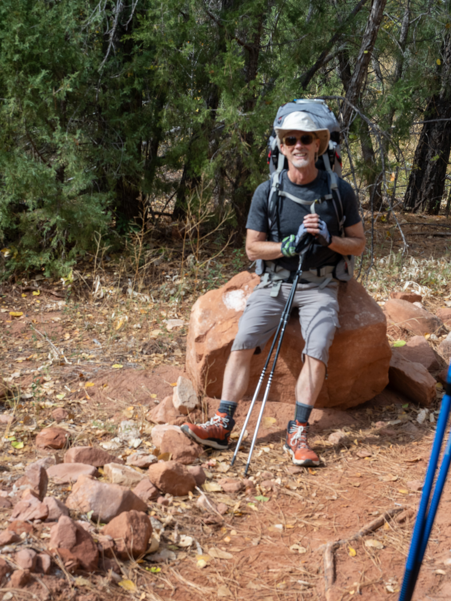
What the hell does this have to do with my trip? Well all that sedimentary rock in the Zion, Bryce zone erodes as sand, and boulders (of limestone), but mostly sand. A walk through Zion is like a walk at the beach, except Zion sand is finer than most beach sands. It’s a dust. I am glad I had my Dirty Girl Gaitors wrapped around my boots, because I got 0, zero, zilch, nothing of that dusty shit in my boots during 7 days of hiking. That is the bane of hiking to be walking along, and feel something in your boot that is double tied, and iritated your dry fingers the last time you laced them up that morning. The last thing you want to do is drop your pack and clean your boots out again.
What else does that have to do with my trip? Most of these layers are sandstone layers, with some limestone sections, but it is sandstone with a high iron content. Iron rusts, so that makes red sandstone when the iron is high, and white sandstone when it is not, and yes, those periods are covered. Another thing about sandstone is it does not erode evenly. Some areas are compressed harder than others. Some areas have a hard rock above them, and so are protected longer. One thing that does happen is it erodes through wind, rain, water, ice, sun, and so it tends to sculpt. Very artistic sculpting too. The warm light that is reflected from red sandstone is a comfortable light. It enhances the beauty of its surroundings.
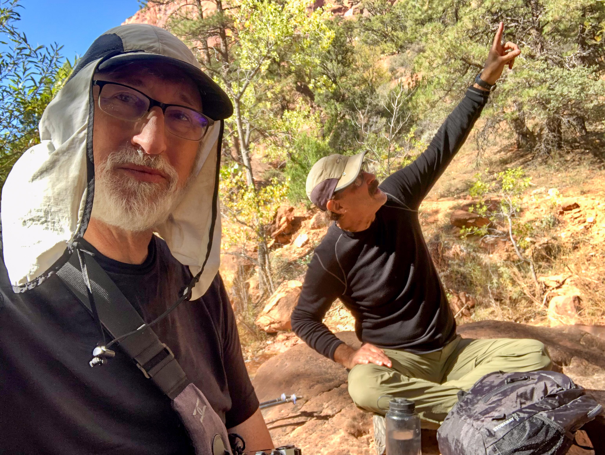
That is what made our first 3 days in Zion so fantastic as Kolob Canyon. Kolob is described in Mormon Texts as the star that governs all others. I don’t know what bestowed that kind of power, and why they attributed this canyon with that particular religious concept, but when you are there, it feels other worldly. It is not like anything you know from anywhere you have been. The canyons of the Kolob area aren’t slot canyons anymore, but they do narrow as you go up them, and the sculpting that has occurred in these is some of the prettiest in the whole park.
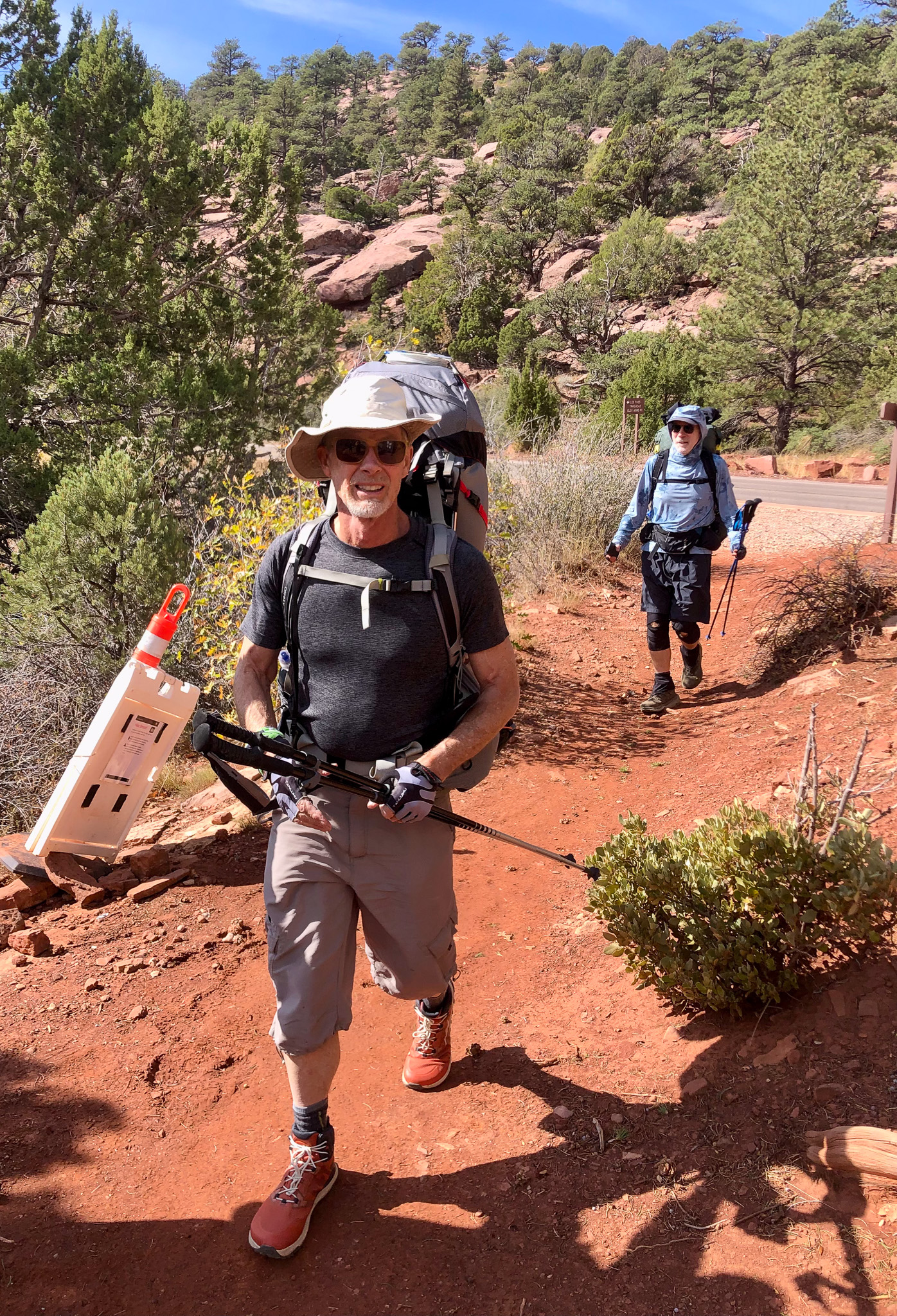
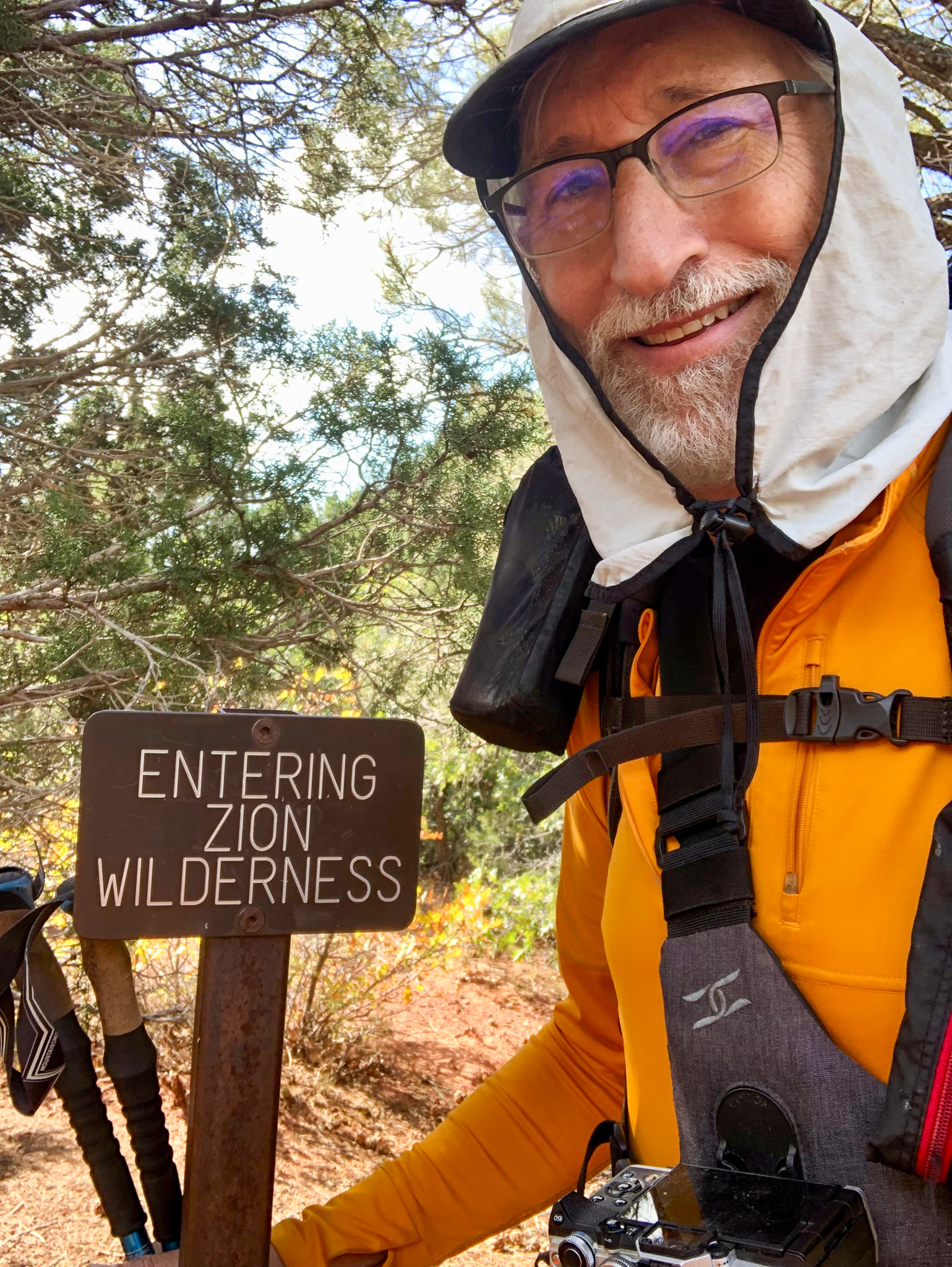
We began our trek at Lee Pass, at the NW extent of the Zion Wilderness. Wilderness? Yes, the entire place is a National Park, but the word Park seems very accessible, and a lot of Zion is not accessible unless you are will to hike there, so most people know the main canyon, where at the north end lie the Narrows where to proceed further you need special equipment. That is all fairly accessible and fits withing the “Park” definition. Everything else has a Wilderness label attached, which isn’t just a word. There are practices in place within a wilderness. The Appalachian Trail is not a wilderness. It is a blazed trail, that you can follow by observation of the wear and tear of the trail, as well as the markings on the trees. In a wilderness there are no markings. No Blazes. In rocky areas, at least people who know the trail will lay down rocks to guide, but aside from that, there are just signs at trail junctions and nothing in between except for official campsites.
We dropped from 6000′ down to the junction of Timber Creek and La Virken Creek, 5000′ and then slowly clawed back 300′ of that and settled down at Campsite #9, so graciously given to us by the park ranger. This was where the “What I remember” and “What actually was” came into conflict. What I recalled was that it was downhill at first, and then a gradual climb. What it was was generally downhill, however there were some uphill spines to get over that were neither soft, nor short. Soft? Short? When, you start a 7 day backpacking trip you have ALL the food you need for 7 days. That’s all the breakfasts, all the lunches, and all the dinners. Add to that the dryness, and I was carrying more than twice as much water as I usually do, which was 2.5 liters in stead of 1 liter, and that is a heavy as fuck pack. Those little uphill jaunts were felt very much by my legs. There was a really hard one early, which was good because our legs were fresh, but then the second one came after 3 miles, and required us to navigate over a spine that separated the Timber Creek drainage from the La Virken Creek drainage. That wasn’t as steep, but it was much longer.
Once we settled into the La Virken Creek portion of the hike, that was where the sand was the deepest and most difficult to walk through. Been to the beach? Put on a 40 pound pack and move up away from the waters edge, and then walk 3 miles. “Sounds awful” you are thinking. “You sound miserable” you might also be thinking. Here is what you are missing. Surrounding us is utter beauty. Yes, each step is work, but each frame of light that penetrates through our optic nerves paints a masterpiece of beauty in our minds that anesthetizses the other senses, and you keep putting one foot in front of the other. An hour passes and you are another 2-3 miles along. In all that beauty, I couldn’t just keep walking, as I stopped often to grab the component shots that go into my composite panoramas, and this journey was going to produce a lot of those types of shots.
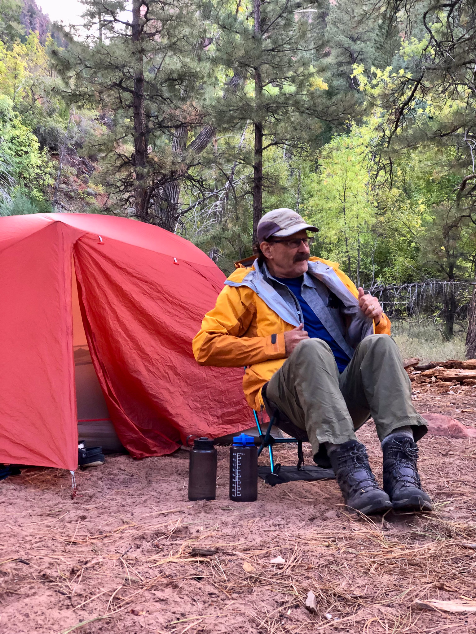
I was so glad the ranger changed our first camp site from 4 to 9. For one thing, I saw the sign for camps 3 and 5, but I didn’t see 4, and what turned out to be even better was that there was an additional spring flowing closer to our camp than the marked Beatty Spring at the junction further up the trail. I saw that, and counted off about 100 yards (yes, I still count in yards and not meters) before we reach the creek crossing to our camp. Unlike 2011, we did not need to take our boots off to cross the creek. On the other side was a lovely flat open space with towering Ponderosas above us, that offered up glimpses of the massive red rock walls behind them. The sound of La Virken creek was soothing, and the place was large enough for 10 tents at least and had a natural area to put our chairs (small they are) and food things.
While we were settling in, I could see across the creek and the tenants to site 8 had just arrived, so I greeted them “Welcome Campsite 8 campers! Welcome” and I got a hand wave back, which of course meant I needed to cross the creek proper and see who our neighbors were. It was early still and we would not eat for another hour, so I crossed the creek to meet Janna, Betsy, Gary, and the other dude. They were all from Indiana, greater Indianapolis area, and like us they were in Kolob for 2 nights, but unlike us they were hiking out and heading somewhere else. Not wanting to overstay my welcome, I retreated back to our camp where everyone was ready for each of their own specific freeze dried meals and just as we were getting started to young women walked into our camp with two looks on their faces. The first was one of relief that their trek this day was over. The second, “Why are these old men in our campsite?”. We welcomed them to our camp, and made the assumption that perhaps we had both been issued this site, so I offered up “There is plenty of room for all of us here”, but they soon realized they had site 10, and had just a short wee little extra to go. Before they left they told us their plan the next day was to haul their asses all the way to the West Rim. That’s 20+ miles. That would mean only 2 nights worth of food, but they would still need an early start to knock that out. Doable yes, but not for me.
When it came to dinners I was continuing my new trend to bring only single serving meals, and all of my meals were from a company called Nomad that produces mainly plant-based dehydrated dinners such as Indian Red Lentil Stew, Katmandu Curry, Irish Shepard’s Pie etc. My choice this night was the Red Lentil stew. These 1 serving bags all call for about 1 cup of water, but what I have found is that they need a little more added halfway through the soak time, which I ended up doubling to 30 total minutes. To keep the package warm in a cool environment we all brought old bubblewrap mailers to insert the package into and then that goes under your shirt. It warms you and you keep it as warm as possible that way. Still, after all that the lentils were still crunchy, though the overall flavor was quite satisfying. We finished off the first night with Backpackers Pantry Creme Broulee which is a group favorite.
One thing I didn’t have to do, or at least worry about, was the bear hang. I helped, you know because, tall, but my food was not part of that weight as I was trying the bear canister concept for the first time. I had all my food packed in there to begin with, and the cannister does add weight, however at the end of the day all I have to do is secure the lid, and then walk a short distance away and place the cannister on the ground and retire for the night. I will say here and now that I didn’t think I would value the extra weight for that convenience, but by the end of the trip I was wrong. At least with my Osprey pack, that will be my goto from now on. After helping to raise the other’s food we all retired for the night. It was 8:15
The first message of the morning was from Paul. “Good Morning, Luggage issue, missed my flight see you tomorrow”. I won’t make you wait for the deets. Apparently Paul arrived too late to check his luggage. 5 minutes too late in fact, and if you can’t check your luggage, you can’t get on the flight. I never asked why he didn’t just take a later flight, but perhaps there were no seats, so he would try again the next day, and instead of hiking in from Lee Pass, he would miss Kolob, and hike down from the Hop Valley TH the next day. That was a shame as Paul would have loved that hike in.
We however awoke lazily, except for Jim who was up and stomping up and down the local area looking for early light images, and without the need to break camp, simply gathered our food stuffs, and started to boil water for coffee drinks and oatmeal. On this trip I told everyone “No more quick oats”, instead we would use whole rolled oats that require a good soaking in hot water, and I got everyone to wash out their previous nights dinner package to resuse as their oatmeal soak sack. Same principle as the dinners; Add hot water, shake/stir/seal enclose in bubble wrap, and under the shirt for 8 minutes. I found the texture of that method was much improved over the quick oats. No one said “This method sucks Eric”, so I can only assume that they too found it better, but I am not sure any of them eat as much oatmeal as I do, and they might just be humoring me. Coffee drinks consumed, some people, one by one grabbed their Restop2 bags, and retreated into the brush to give their backsides a go. “That was easier than I thought” was one comment. “Better to bring a little extra TP with you” another. I wasn’t moved to go yet, and so I rolled the dice for the day.
Today was a day hike up to the famous Kolob Arch, which sits high at the end of a nearby side canyon, and then to continue upstream deeper into Kolob canyon. Maybe the ultimate goal being to get to Bearcat Canyon and a water fall that was supposedly still running, though probably much diminished this time of year. Our Indiana neighbors were bound for Hop Valley, and then the arch, so we probably wouldn’t see them again till we were both finished.
Memory and reality are so different sometimes. I remember we walked a lot of the creek that drained out of the Kolob Arch side canyon, however when we got to the junction I had no desire to walk up the creek, and there was a perfectly fine trail that went there as well. Besides, there was a fair amount of blow down, or fallen trees across the creek, and the trail was easier. We met four lovely ladies hiking out from the Arch, they having completed their goal for the day and on their way back to Lee Pass, we lazily just getting started. We chatted for awhile, and I think they were the first ones that told us our backcountry permit would get us onto Angel’s Landing. We would find out later this was wrong, but it did give us something to hope for all week as no one could confirm or deny the authenticity of the claim.
Soon we traveled as far into the side canyon as I had with the other crew 13 years prior, and at that viewing point, you can indeed see the arch from one spot next to a giant Ponderosa Pine where a sign discourages hikers from proceeding further into the canyon. I suspect that it gets rougher, and maybe the risk of injury increases, however behind us and to the right there was a fairly well worn trail that looked like it gained some easy higher ground that might offer up a better viewing experience, so we followed that and indeed we had a wider field of view. From this point, I am going to say that though the trail did continue up, and there were two more vantage points, it did look more like a scramble, but it didn’t look dangerous, and we could see an outcropping about 30-40 feet above us that looked like a nice place to snack, and so we moved up. Yes, there were some dodgy sections, but we all made it safely, and the shelf was more than large enough for all of us, and we sat up there for at least 30 minutes. This shelf did offer up a tremendous 360 view which I captured roughly 270 degrees in a multi-shot composite panorama that captured Jed, the arch and the exit back to main Kolob.

We scrambled back down, and out the way we had come in, and then went in search of Beatty Spring, in the same direction we were travelling, just so we would know where it was. The Ranger did give me instructions, but I didn’t write them down other than to remember he said “A green area just as you cross La Virken Creek”. Problem was there was a lot of green areas, and we were looking to the left, when we should have been looking to the right. In fact, it was an immediate right, and only 10 yards from the trail, and we found it after 15 minutes of searching. Jim at least found that the trail that winds deeper into the canyon isn’t down by the creek where I thought it was, but in fact a switchback higher than we were standing. We had plenty of water, so we noted the location and proceeded North.
The further up the canyon you go, the number of times you have to cross La Virken Creek increases. We got all the way to the trail junction without crossing it once, but after the junction I feel like we crossed more than 20 times. The walls come in closer, and the trail has to move across to gain solid footing as well as to have both a high and low water route. In the Spring La Virken is a powerful force that I only want to cross a minimum, so perhaps the camps further into the canyon aren’t given out during high water. The other effect you get is the glow effect when the reflective warm light from the sun facing red rock illuminates the shaded red rock with a warmth that is hard to imagine. It is a glow, and I don’t think any of our images truly captured that.
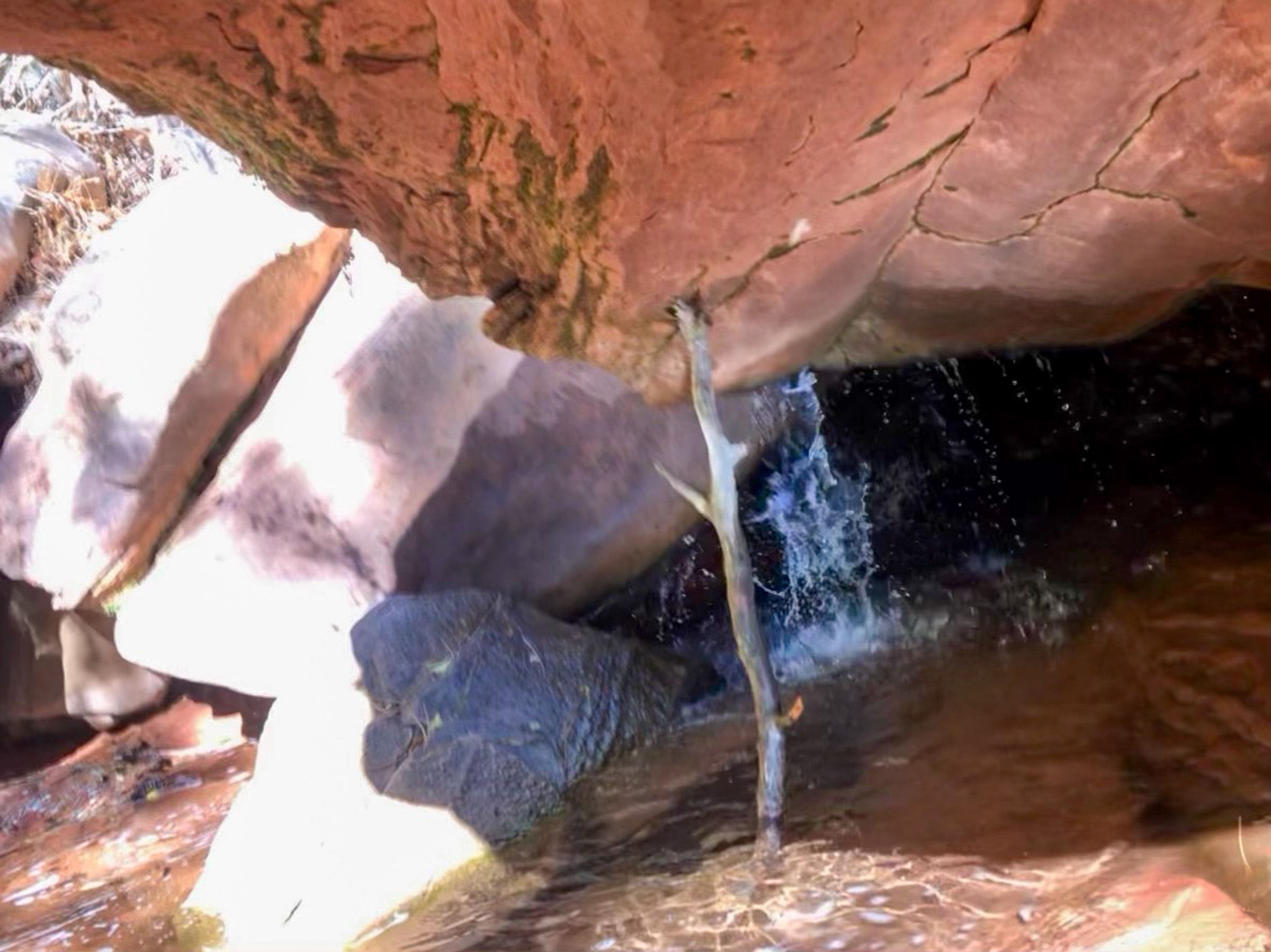
We were headed for Bear Trap Canyon where we were told that a not-so-well-maintained trail goes into the canyon and a waterfall. How much water is falling this time of year, we suspected not much, but by the time we got to the last official campsite, 13 that is, it was getting late, and to attempt the waterfall would add at least another hour, and we were pushing late afternoon already. The lazy start to the day being responsible, so we turned around and headed back. Though we did walk back quicker than we walked up, it was by no means done without more pictures. That is why you have to turn around often, because what lies behind you may be fantastic, and now that we were facing that direction, it was easy to see all that we had missed going the other way.
We passed Camp 11 which had just taken on it’s nights campers and soon we were back at our own camp, and so was camp 8, so I strode in to find the men sitting out, the women retired in their tents for some post hike rest. They enjoyed a beautiful day, just like us, that included a walk up the Hop Valley almost to the end and back, followed by the Arch. Relax before dinner, I told them I would come back over later, and retreated to our own camp where Jed was gathering bottles for a water run. We needed enough for that night’s meals, the morning breakfast, and enough water for the short hike to The Hop Valley. Maybe a little more since the plan was to hike back to Beatty for our Hop Valley’s needs. Meanwhile, I let all the family and friends know that we were okay, and decided instead of sending the standard “We are all safe and camping here for the night” message, that since I sent the first one, that establishes a thread on the device, and I can type anything in that thread and it will be sent to all the recipients, so I decided that from that moment on I would personalize each day’s message. When it comes to the Garmin In-Reach device, to me it looks like a group broadcast, which it is, but to each of the recipients, it looks like a private message, so that when they reply, those replies don’t go to everyone. They come back to me as a private thread. If their reply is a general type of question, I answer it on the group broadcast, where they don’t have the question, but my answer is an answer that maybe they too had the same question. Each of my crew can also use my device to text their loved one’s directly, however I usually have to indicate that their loved one sent that, and not me as the messages seem almost too personal to be coming from me, who is a stranger to most of those loved ones.
We had a lot of time to relax, Jed returned with the water, I grabbed my Bourbon and crossed the creek to visit the Hoosiers across the way where I found only one taker for an afternoon swig. The ladies were up and about again, and I found that Gary and Janna were on their first backpacking trip, having done the car camping thing, and hearing the great stories from Dave and Betsy. They wanted to experience that first hand, and they were enjoying it, thought Betsy was holding out on the poop bags in favor of making it out in time to use more civilised facilities.
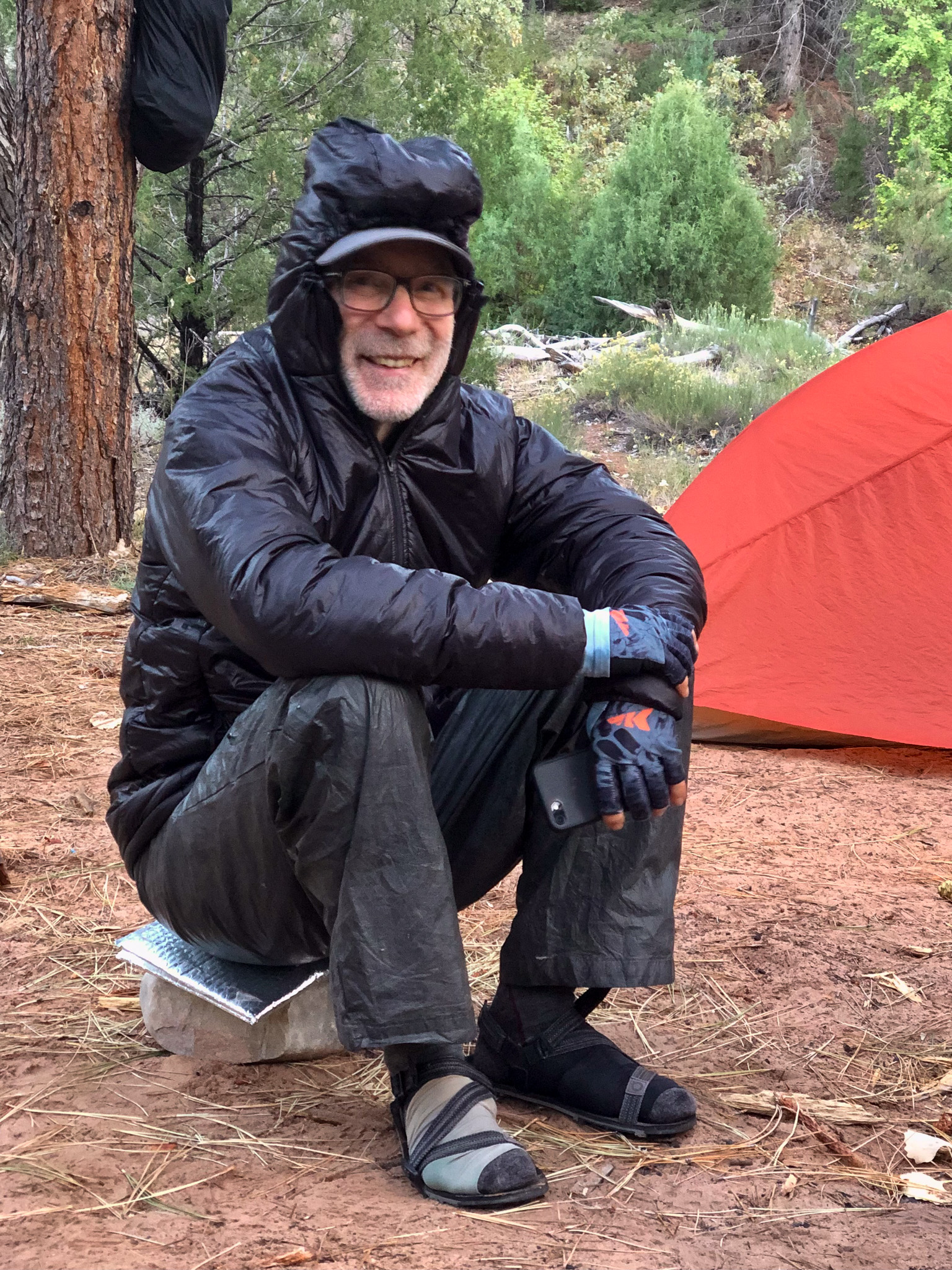
Back at the fort, we did our dinners for the night, and chatted up the day and our expectations for the morrow. We weren’t in a rush again, however we did confirm our intention to return for water, rather than load up before we huffed and puffed up and over into Hop Valley. We had another dessert, a different choice, Rocky Road, which was well received by all. Teeth brushed, food hung (bear canister stashed), we all called it a night by 8:30. I would have liked to stay up a little later, but I was right at the edge of comfort in what I was wearing, so I turned in to the warmth of my sleeping bag.


Leave a comment