
The High Uintas 2023
September 10, 2023 § Leave a comment
Host: “Welcome to the show everyone, I want to thank you all for tuning in we have a very special guest tonight but more on that in a bit. Let’s first give a shout out to our sponsors, Preparation H, cause when you need a friend, well that is all the help you are going to get. And now, let’s welcome our guest tonight, some of you know who he is already, but our guest flies way under the radar, and he has just returned from another (self – described) miracle in the wilderness, everyone give it up for a very special guest, Eric Hallander.”
[Crowd is clapping, could be a wee bit more boisterous and louder]
Eric: “Thank you, thank you, it’s a pleasure to be here tonight with such a welcoming audience. Thank you. You are all too kind. Thank you.”
Host: “That is quite a welcome you got there. It appears you might have a following. Ha!.”
Eric: “Well, it is hard to self-promote, but I give it a go, you know. Put meself out there as they say.”
High Uintas Wilderness – Day 7 – Final Day
November 1, 2014 § Leave a comment
Our last morning began with the usual queuing for the cat-hole trowel. I was first (as was getting to be normal) and afterwards I grabbed my fly rod and headed down to the pond for one last native trout fishing experience. Forgotten was it that my one week license was purchased through Friday, and that technically I would be fishing illegally, but as they say, ignorance is in fact bliss. I fished the edge for a while until Larry abandoned The Point and then I took up his former location as this was a prime location. I was still fishing the dry cadis, but the morning felt different and I was pretty sure I had the wrong fly. A few casts, and I was about time to hang it up, when a fish took my fly and I managed to set the hook in time. It would be fair to note here that it took me more than a few tries the previous evening to get the hang of “setting the hook”. I could feel immediately that this was no small fry, so I pulled him in and as it turned out he was just barely legal. I was fishing for fun, so catch and release was the name of the game, and after Larry helped me extract the hook, I placed him back in the water and off it swam.

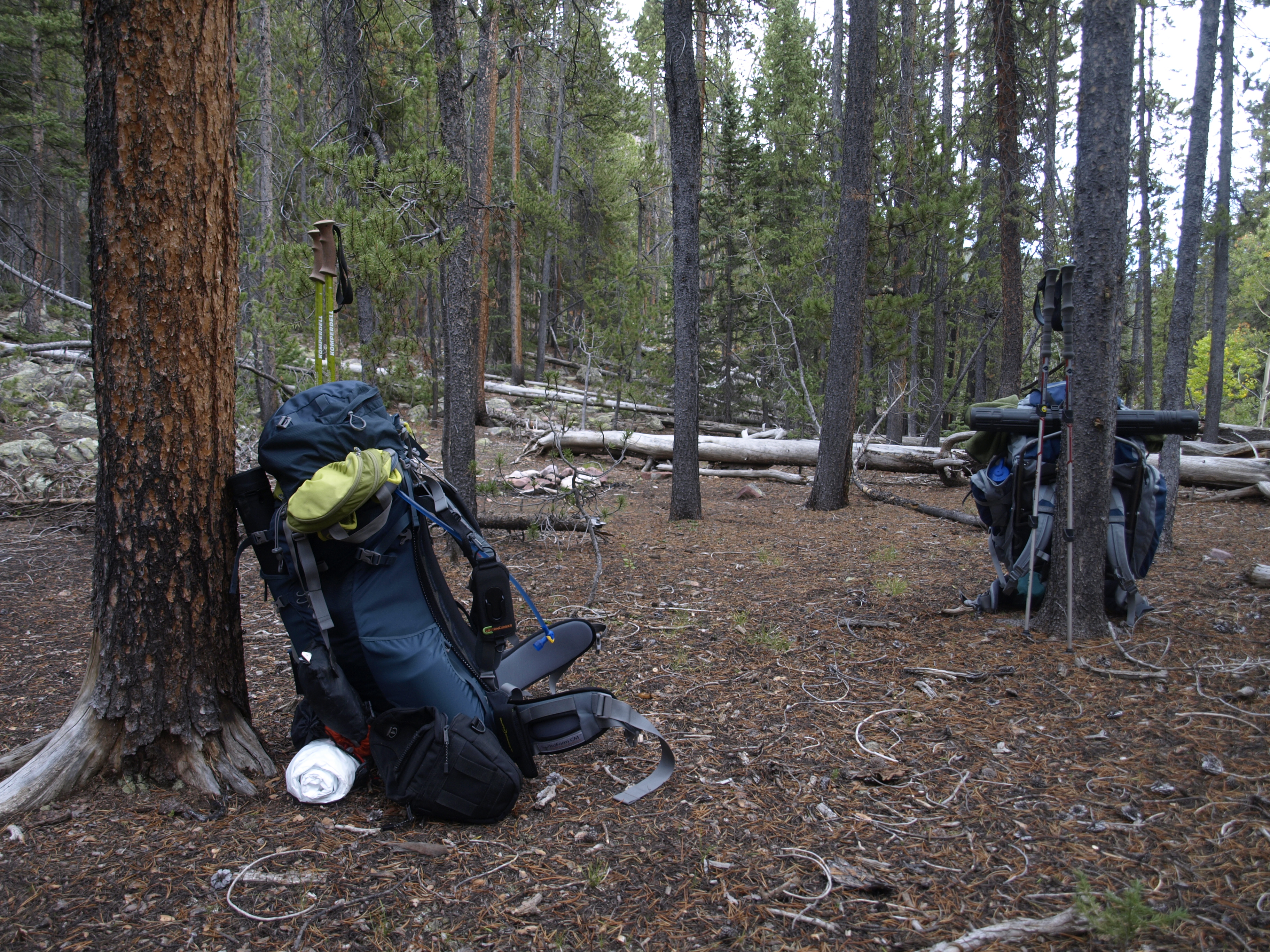
The fire ring, my poles, no one else, just me. The sun on the young Aspens, they will not survive, the Beaver will make a snack of them soon one day.
High Uintas Wilderness – Day 6 – Fishing with Andy
October 22, 2014 § Leave a comment
My initial focus this morning was what I could see. Facing south because I like to sleep on my right side, my view was open as that was the direction I had set my Tyvek shelter the previous night. In those first moments of consciousness I couldn’t help notice the clouds; The dark clouds; While coming into focus they appeared to be coming our way up the basin. “Rohr Oh” were the only words I could mutter and I jumped out of my sleeping bag with definite purpose. If a storm was coming, then I needed to re-orient my shelter away from the wind. I quickly stiffed my bag, and rolled up my sleeping pad. I decided to take another look. Maybe the clouds weren’t heading right for us. Maybe they were moving right to left across my field of view. Maybe I jumped to the wrong initial conclusion.

HDR shot in the early morning. Though ominous looking they looked worse when I first awoke.
High Uintas Wilderness – Day 5 – And it was only 4 miles
October 20, 2014 § Leave a comment
The day would prove to be a lot more challenging than the 4-ish miles we calculated we had to travel. On paper it seemed like it might be an easy day. Eighth mile return to the H55 trail, and then 3.5 miles to and over Bluebell. We had studied the lake documentation and we decided to camp on X25, one of the unnamed lakes without camping restrictions, and we hoped some native cut-throat trout. 🙂

First one up and went for an 8 shot panorama where clearly the exposure changes dramatically from East to West this time of day.
High Uintas Wilderness – Day 4 – Unexpected Pleasures
October 17, 2014 § Leave a comment
Day 4 is upon us. We will be moving camp from our current elevation, back down the Yellowstone, and then up the Bluebell Pass trail to Milk Lake. The net change in elevation will be almost +300′, but we need to lose 600′, and then gain back the 900′. We will be covering some of the same ground that we did on Day 2, however, we will hang a left when we get to the first trail junction. The hike back will have us recross the Yellowstone again, and we will have also to recross Milk Creek, which was a little dodgy the first time. Once we make the left onto Bluebell though, the terrain changes from a long valley walk, to a hill climb. The map indicates switchbacks, but there isn’t anything written which says how many, and how long they last. Reading the map says, there is about 1.2 miles of initial switchbacks, and then it levels off for a bit, re-connects with Milk Creek, and then ascends a little more mildly to the trail junction with Milk Lake. There, a spur will climb the final stretch to the lake where we will commence the search for a fire ring.

Larry Butler in his black attire: Pearl Izumi Cycling tights Moutain Hardware down vest REI Knit Cap Some kind of running shoe Star Bucks Via
High Uintas WIlderness – Day 3 – The roof of Utah
October 16, 2014 § Leave a comment
“Them mountains are mean!!”
I don’t really recall where that statement comes from. It might be from a weekend trip a long time back in West Virginia, but there is a certain wiseness to the statement. Mountains can be mean, because weather can form quickly. The higher the mountain, the more air it traps, and forces upwards where it is cooler, and the moisture begins to precipitate out, forming clouds, and later rain and lightening.

This is actually from the afternoon previous just after we got camp set up, but it shows our camp site from which we departed. The reason I know this is because there wasn’t a cloud in the sky when we began this day hike. Absolutely beautiful wide open blue sky o’er our heads.
High Uintas Wilderness – Day 2 – Even after a change in plans, a change in plans
October 15, 2014 § Leave a comment
I didn’t start taking pictures until we were really ready to leave, so it simply appears like someone took care of all the morning chores in camp and all we had to do was lift our packs and go. Of course, that isn’t really how it works.
The camp is clean and the packs are packed. Larry and I were the first into camp, and the last to leave.
High Uintas Wilderness – Day 1 – A Well Planned Trip Never Goes As Planned
October 13, 2014 § Leave a comment
Full packs carrying everything we think we need with calculated duplicates (cat hole shovels, TP, pumps, etc), and starting out at 8400′ elevation. Destination is the trail junction up to the Garfield Creek Basin. The trail head sign says 9 miles, and the trail follows the Yellowstone Creek the whole way. It is important to keep in mind that this is a high basin that gets a lot of snow in the wInter, so the trail cannot follow the creek at its current water line. Therefore it meanders higher above the creek at times, so there are gains and losses, but in general we gain elevation the whole hike. 9400-9600′ is the final elevation for the day.
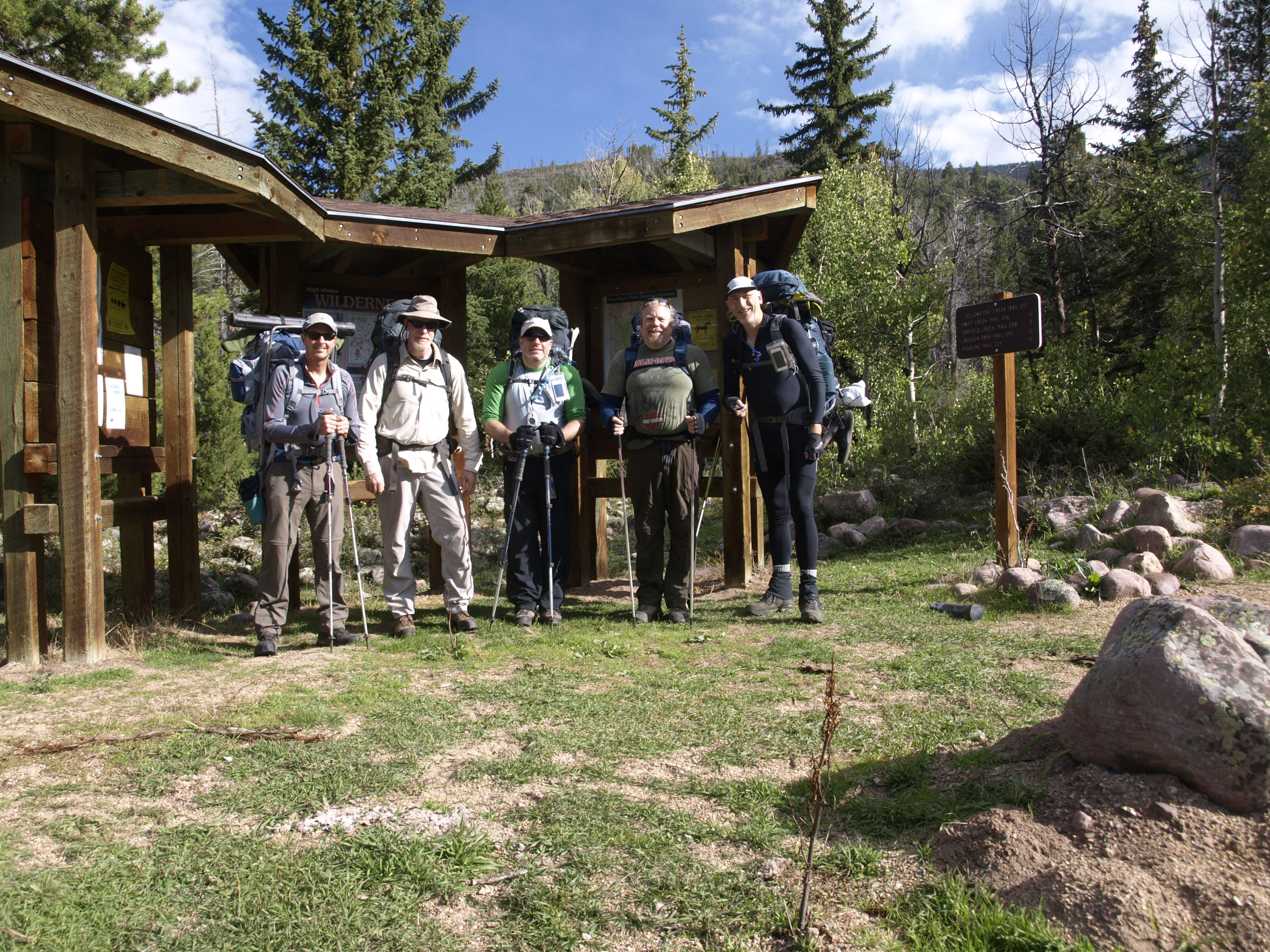
At The Trail Head
High Uintas Wilderness – Swift Creek Campground – Sept 12-13 2014
October 13, 2014 § Leave a comment
I first heard about the High Uintas thanks to my brother-in-law Walter Everetts, who after we did the Zion Wilderness in early May 2011, gave me an issue of Backpacker magazine that to him, was done. The title article was a story about a hike along the High-line Trail along the spine of the High Uintas in NE Utah, east of Park City. The Uintas are an E-W running sub-mountain range of the Rockies, and along with The Brooks Range in Alaska, are the highest EW mountain ranges in the country. I was going to say only EW, but I am having trouble corroborating that with matching Wikipedia source material.
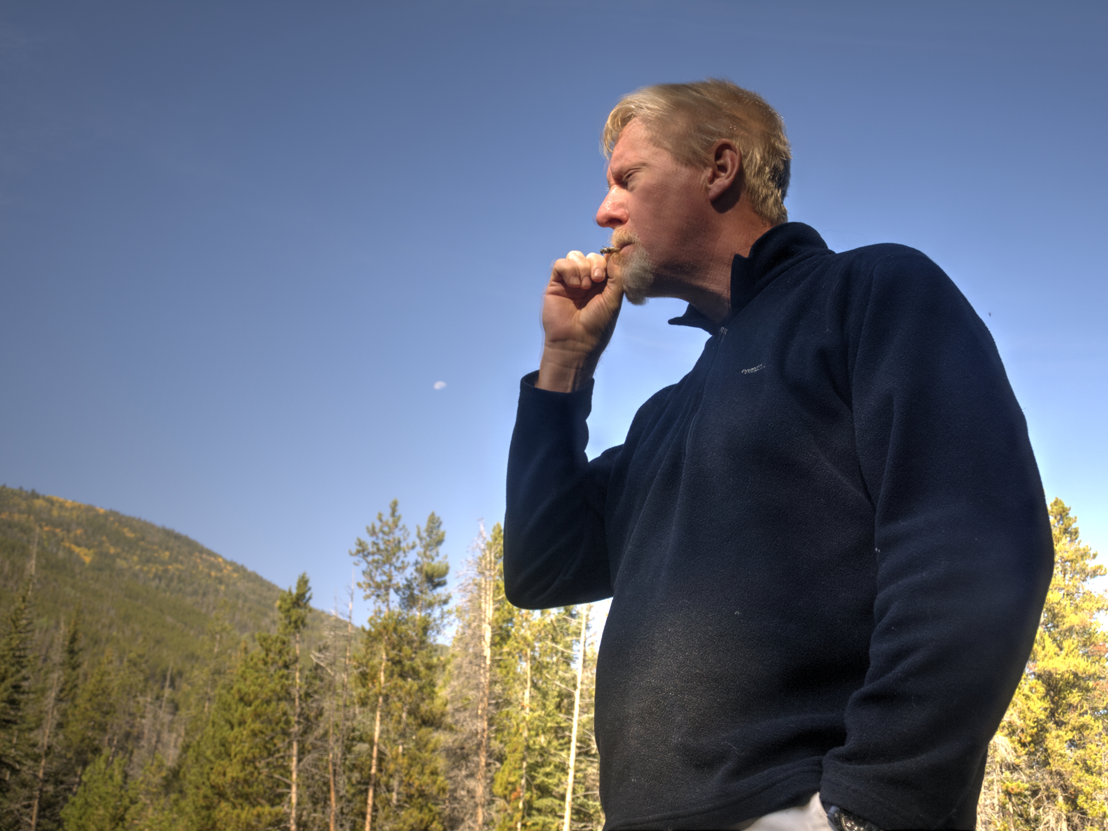
I know it doesn’t make sense some of it. Out here is the wilderness surrounded by nature, and we engage in vices. Here, both Greg and I brought fresh Bugler tobacco with rolling papers. It is so pleasing to roll a nice cigarette, light it, and enjoy it in such a surrounding.
