
High Uintas WIlderness – Day 3 – The roof of Utah
October 16, 2014 § Leave a comment
“Them mountains are mean!!”
I don’t really recall where that statement comes from. It might be from a weekend trip a long time back in West Virginia, but there is a certain wiseness to the statement. Mountains can be mean, because weather can form quickly. The higher the mountain, the more air it traps, and forces upwards where it is cooler, and the moisture begins to precipitate out, forming clouds, and later rain and lightening.

This is actually from the afternoon previous just after we got camp set up, but it shows our camp site from which we departed. The reason I know this is because there wasn’t a cloud in the sky when we began this day hike. Absolutely beautiful wide open blue sky o’er our heads.

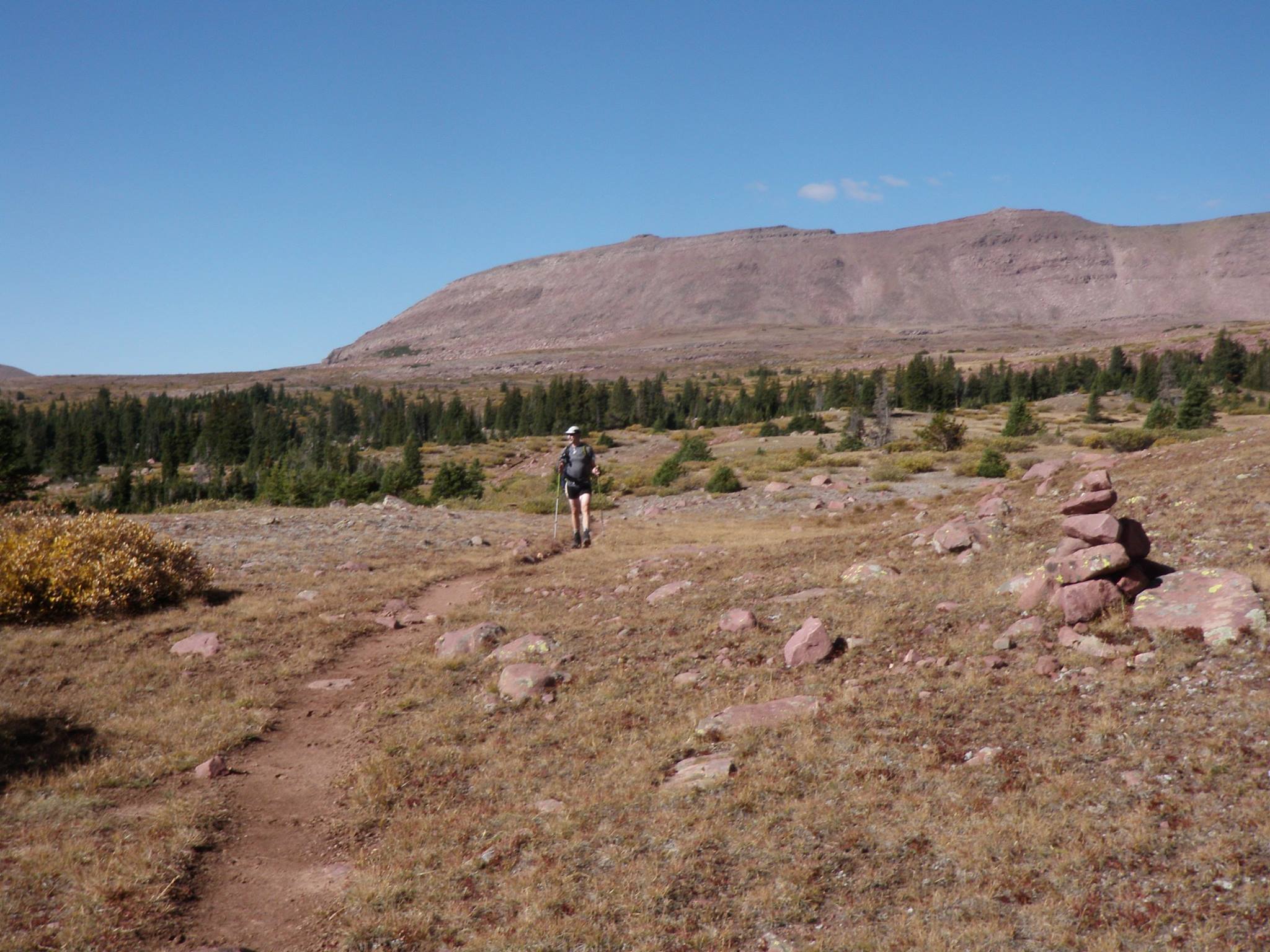
Starting out.

Didn’t take long to lose the tress.
It is with this knowledge that we got a not-as-early-as-we-wanted-to start for our only non-pack day hike to ascend Utah’s highest peak, King’s at 13,534′. The map we had shows our current trail intersecting the High Line Trail, where we hang an East, and climb to Anderson Pass, where there is a black-dashed trail leading to the summit. “Look, there is a trail marked!”. That should be easy to follow :P.

Intersection with The High Line Trail
The plan was simple. Get started, and hike as quickly as possible to the base of the talus slope, and then ascend at your own pace to Anderson Pass. Re-group and finish the ascent to the summit. Take pictures, sign the register, shake hands, pat backs, and get the hell off the bloody mountain before anything brews. That was the plan, and really we didn’t do too badly executing on that plan.

Even on the roof there are still streams to cross.
I will try to keep this overall description short, so minus Andy, the rest of us set out for what for half of us, would be the highest elevation hike we had ever done. Walt hiked to Everest Base Camp two years ago, and Greg did some elevation work on Mt Rainier in Washington. For Larry and I this would be Personal Best moments, with Larry’s added first state highest point summit. My list isn’t impressive, but I have been to the highest points in New Jersey, New York and Vermont. They all pale in comparison.
Larry captured me hiking in my underwear. I know, they just look like shorts, but they are Craft wind proof boxers.

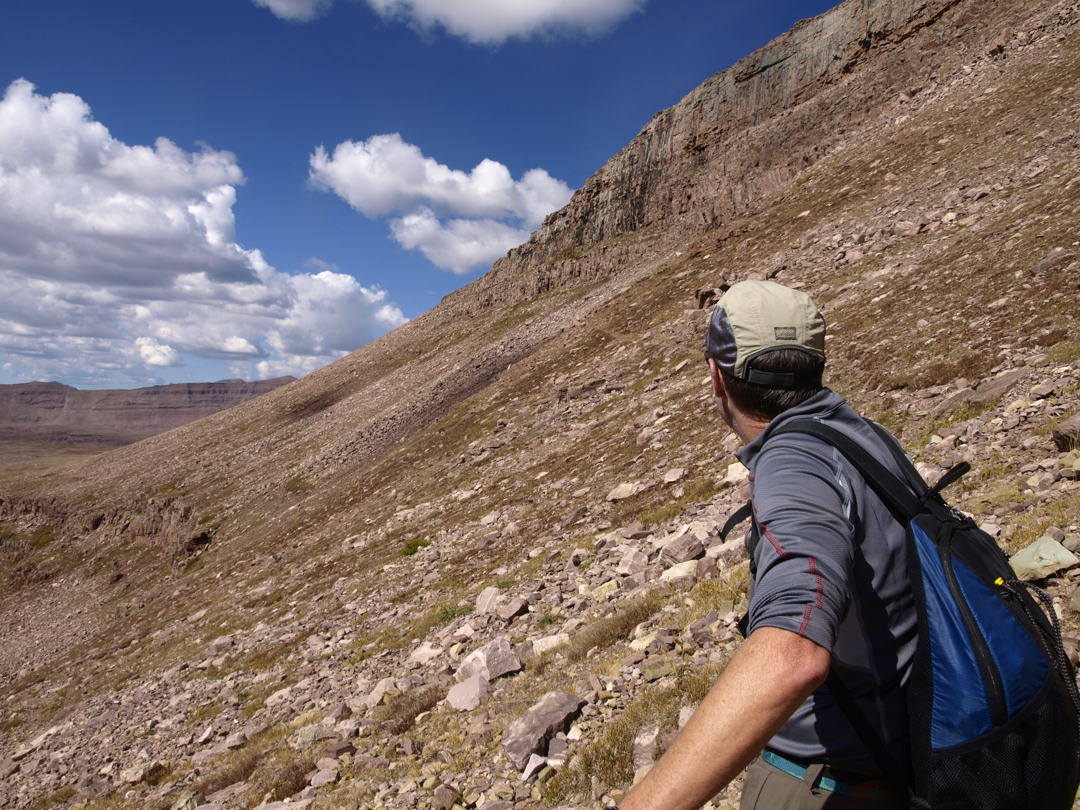
Last rest before the talus slope is tackled.
The morning was such clear open sky it took your breath away simply taking it all in with your eyes. Every where you looked was spectacular! We made good time and stopped little until we got to the base of the talus slope ascending to Anderson Pass. Looking right at it you couldn’t be sure beyond where the trail entered, where trail even went! However once you entered, there was never any question of where the trail went. Horses had to be able to navigate this, so there was a fair amount of work of making this section safe and navigable.
Greg and Walt following.
Larry and I were the first to reach Anderson Pass. We decided it was better for Larry to lead, than for me to lead, because although I am the leader, I am a terrible trail leader. I quickly and easily fall into a natural stride, which for me is a greater stride than my compatriots. To keep together, Larry leads.
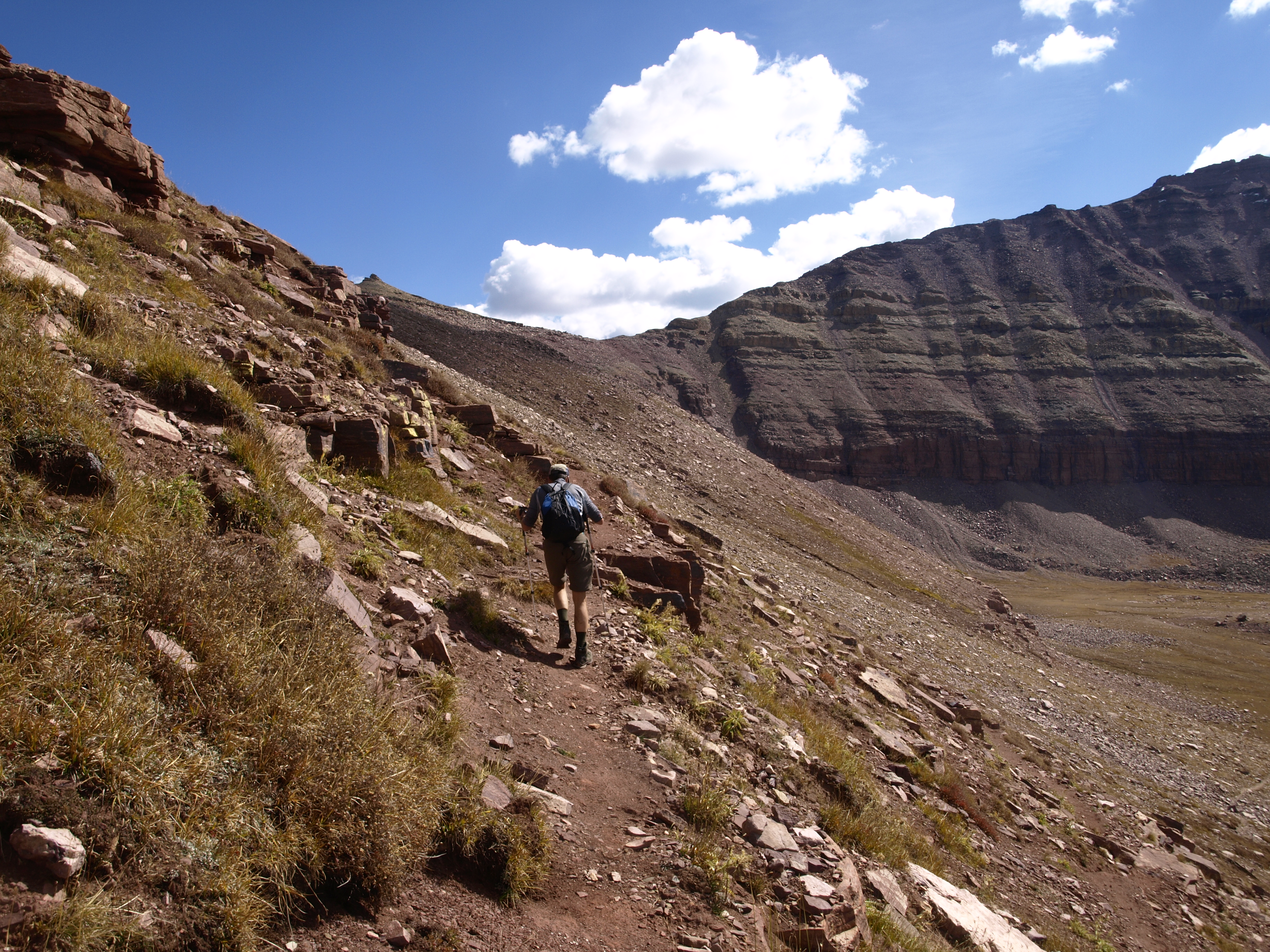
After a bunch of switchbacks you finally hit this one long final ascent stretch.
The pictures, I hope, give a sense of the vast openness that we experienced. Two dimensions is tough to work with in a three dimensional world, but I tried. Jaw dropping all the way up while a huffing and a puffing.
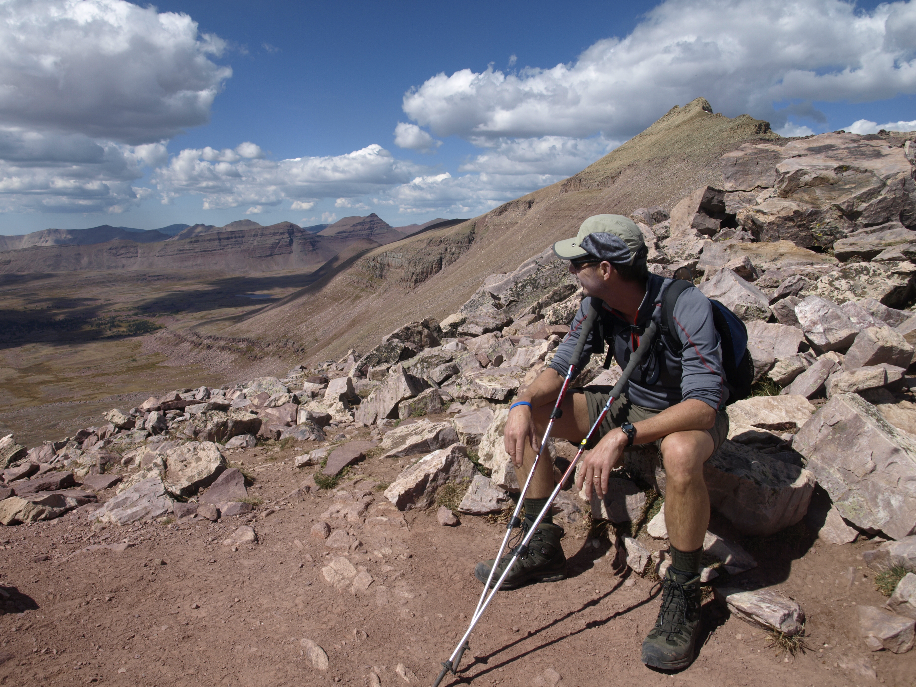
Larry and I made Anderson Pass. The view is awesome.
Atop Anderson, we first spotted 3 hikers ascending from the East, and soon there was a woman in view descending from Kings. I should note that at this point, Greg and Walt had arrived, and my three companions asked if I was going to put my pants back on before anyone else showed up. A limited explanation of this request is that I made the mistake of only bringing one pair of underwear for the hiking portion of this trip, and while we were crossing the now extremely crossable Yellowstone Creek, I decided to remove my pants, and wash my underwear. Until they dried, I saw no reason to put my pants back on, so I ascended the talus slope to Anderson Pass in my underwear.
I love this perspective on the talus slopes.
Fully clothed I was when Larry and I embarked to the top. To say there was a trail is to outright blatantly tell a fib. There were areas of eroded rock dust interspersed between long sections of simply boulders settled upon other boulders. This was not going to be an easy ascent. On the map it seemed like you simply ascend the spine, but the reality is that you ascend on the East side where the slope is gentler (relative), where as on the West side the slope is a death slope. Larry and I made steady progress, both realizing about the same time, that when you have a boulder scramble, you really should not use your poles. We both carried both poles in one hand (left) and used our other hand to stabilize our ascent. For the descent we both collapsed our poles and attached them to our day packs.

Sun is a little harsh here with our destination there in the center.
Rest we did on the way, up, but continue also we did. Had to make the top. Eventually we turned a corner and there it was. The summit pole, and an old Ammo Case in which was contained the log book and plenty of writing utensils. Clouds had formed, but nothing seemed imminent. It appeared that Walt and Greg had turned back, so Larry and I did our pictures, signed the book and were ready to descend. I decided then to grab a panorama, and to see if I could grab a panorama with my iPhone. I powered it up, and lo and behold, I got service bars. My phone began to sing with musical notification of incoming text messages. I sent off a couple of replies as well as a howdy from the roof of Utah to my wife Susan, and it was while I was using the phone to take the panorama shot that I first posted for this trip that I heard the first clap of thunder. It was time to get off the fucking mountain!!

A very large community rock cairn
Getting off isn’t easy, but neither Larry nor I wanted to be caught up there, so descend we did. Each a slightly different way down, but in the end we converged on Walt and Greg who had been sunning themselves on the rocks like a couple of old rattle snakes. We didn’t hang out long, and off to camp we proceeded.

A look back.
It was a long day, and we still had camp chores to do upon our arrival back at camp, but we made good on all that, ate, smoked, drank, talked, built bigger fire, talked, drank, smoked some more, and then finally retired to bed exhausted. The temperature dropped that night, but the sky was cloud free.

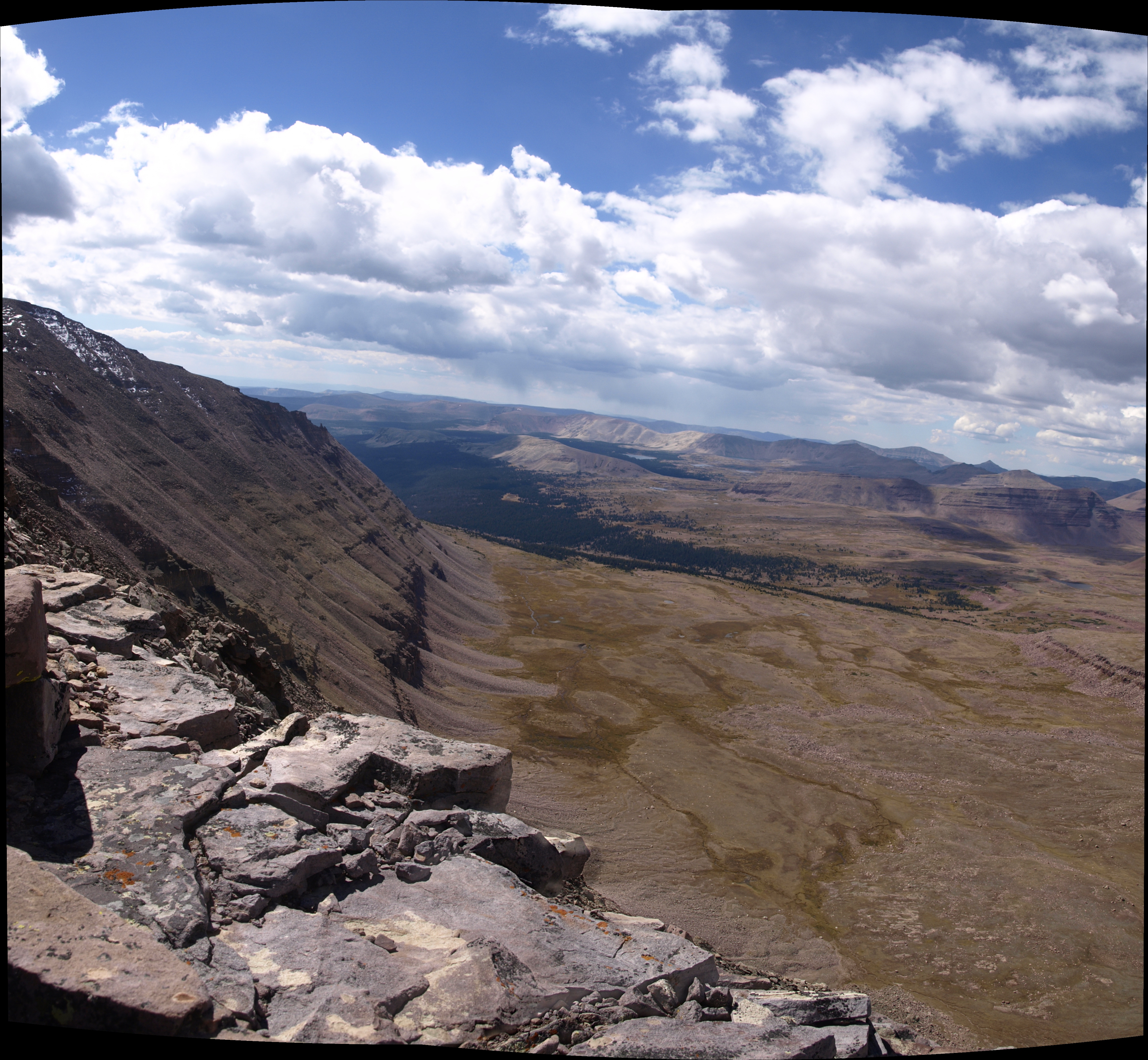
Henry’s Fork down and to the left
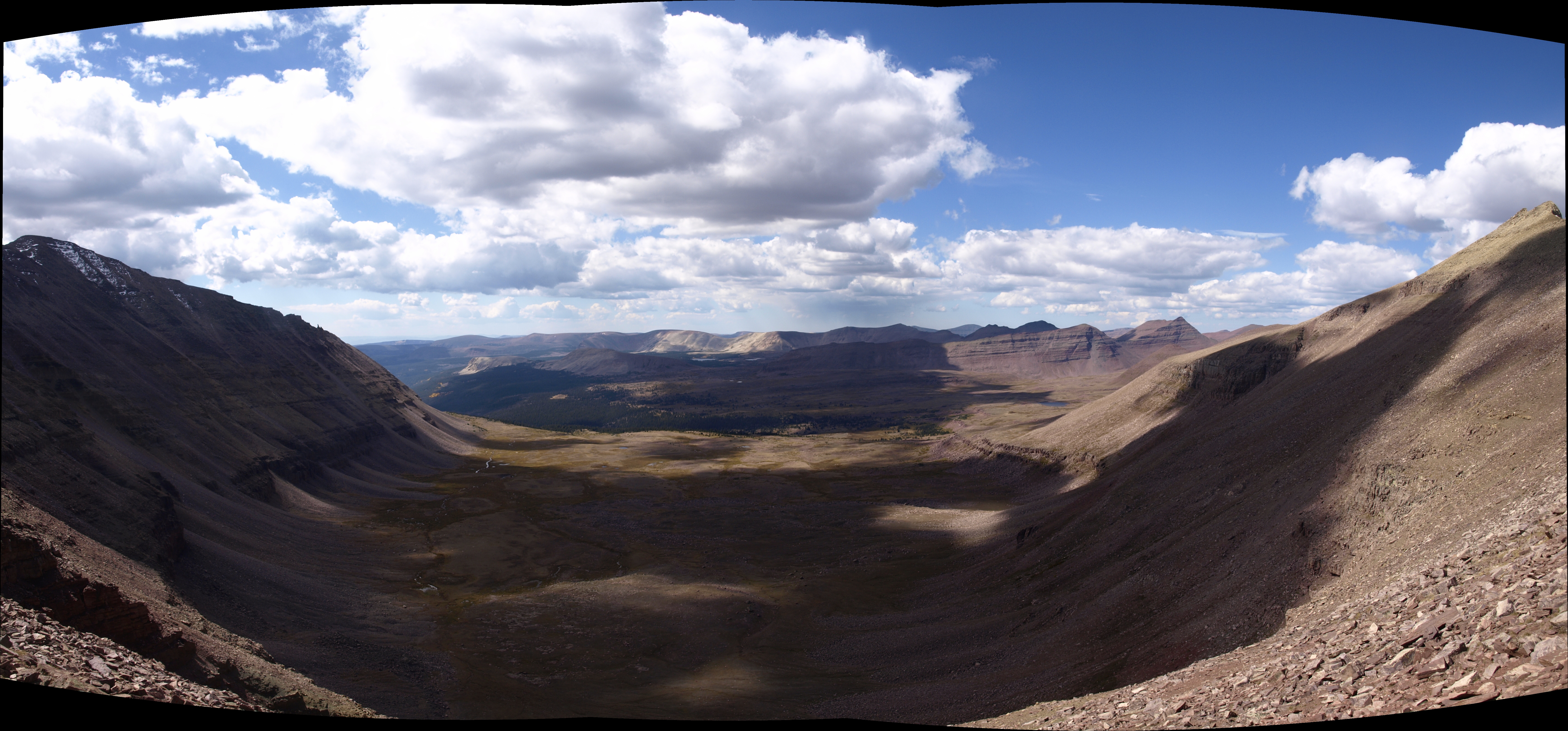
Upper Yellowstone Creek Basin
Another shot of the Kings Peak talus slope. At full res, you can see some of the lakes back in the Garfield Creek Basin. There is Five Points Lake (the largest), Superior and Little Superior to the right. There is a little unnamed lake just shy of Tungsten Pass.

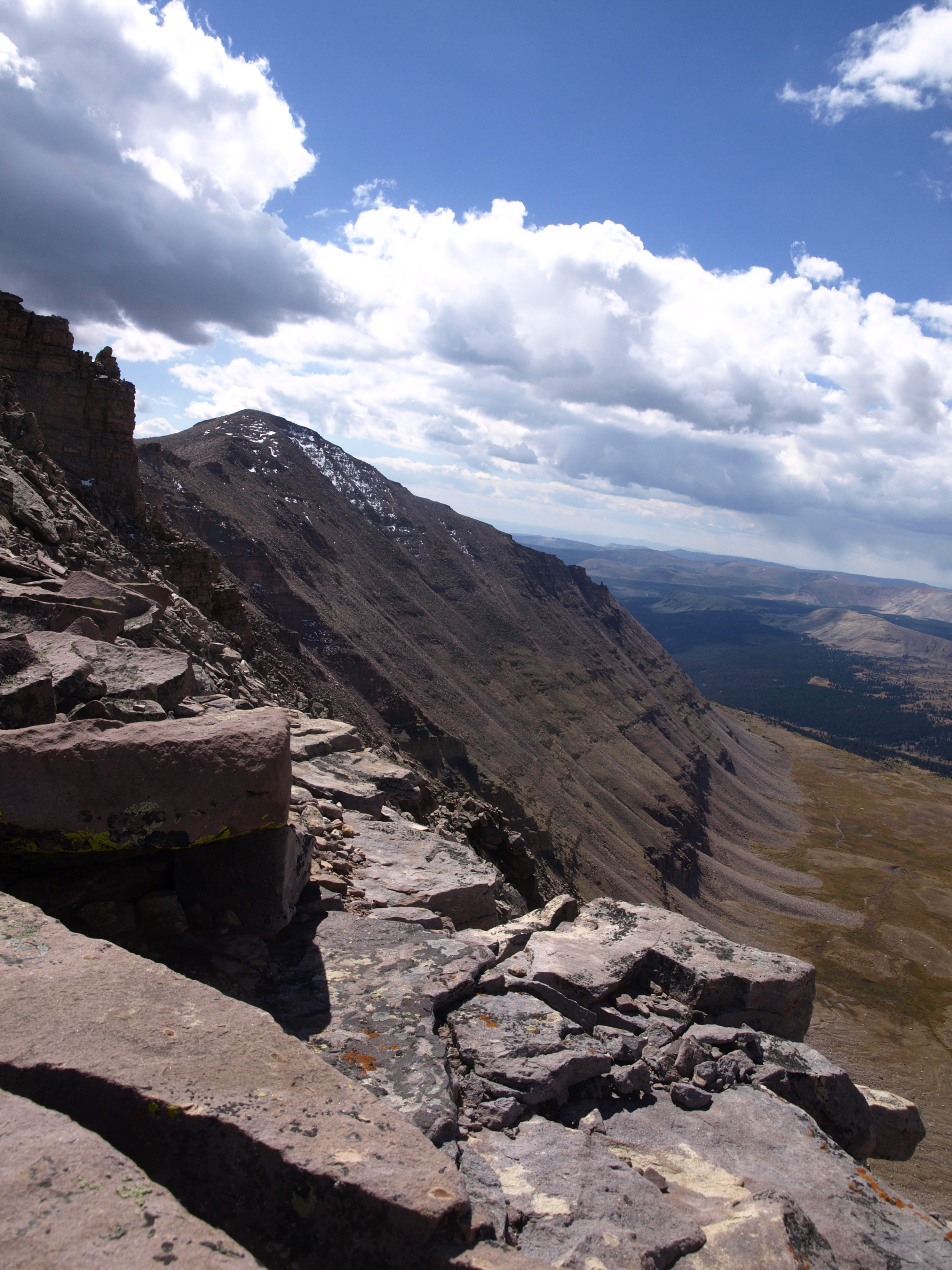
This is taken from just below the summit looking NE towards Henry’s Fork. The land in the far distance is Wyoming.

The clouds rolled in, but we never got any weather out of them. In case you are wondering, this is an HDR ultra-surreal shot.

Signing the register on the top of Utah in my black attire with my Limeade day pack. Oakley prescription shades Capo cycling gloves Assos LS base top Compression tights Camelback Hydration pack.

Back at camp with a fire, food, smokes and our chairs. Oh, and that is beer in the cup!

Leave a comment