
AT Massachusetts – That’s a Wrap
November 12, 2020 § Leave a comment
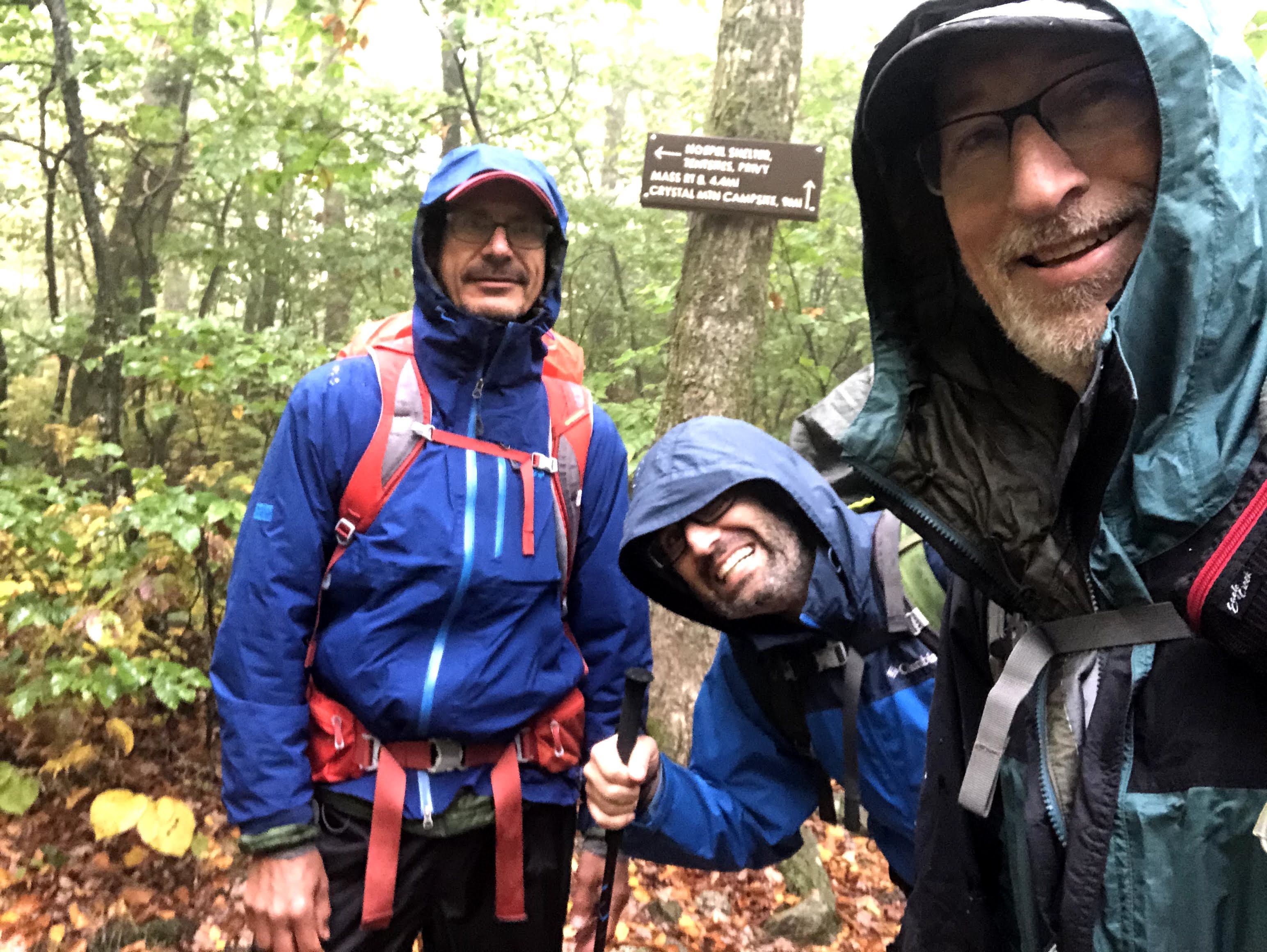
When we left off our last discussion, we were three, and happy and warm in Mark Noebels Shelter. For Ali and myself, we had just over a day remaining on the trail, and for Paul, he would accompany us to the summit, and there would branch off onto a side trail for a change of scenery. Mailman was with us as well, and had his own plans for the day. The only downer to start the day, is the rain did finally arrive before the sun came up, and there was a steady, moderate amount still falling from the sky. Today, at least the morning, would require proper rain gear, but, considering we weren’t under any real time constraints, there was no rush to get going. Even Mailman had his reservations about venturing out.
I will try to keep this short. We are at the end of our journey with one night remaining in the woods. How much could there be still to tell? You hike in the woods, through mud, puddles, swamps, rocks, up hills, down hills, through dales, and over them, across streets, over rivers, over creeks, over streams, over streamlets, over dry versions of all of those pretty much every day. What variety could there possibly be? Well wouldn’t you be surprised! Maybe I overstate that, but let’s get started and see where we go.
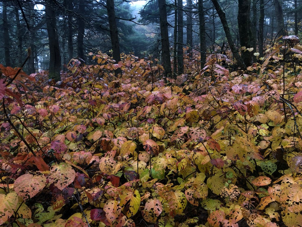
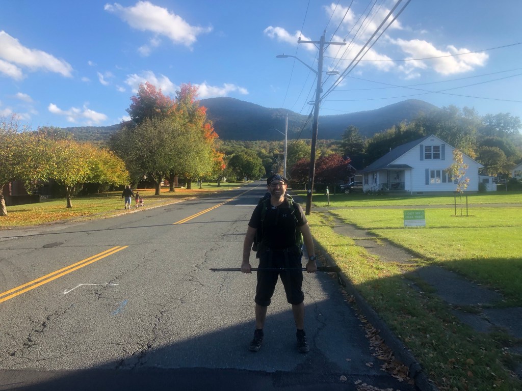
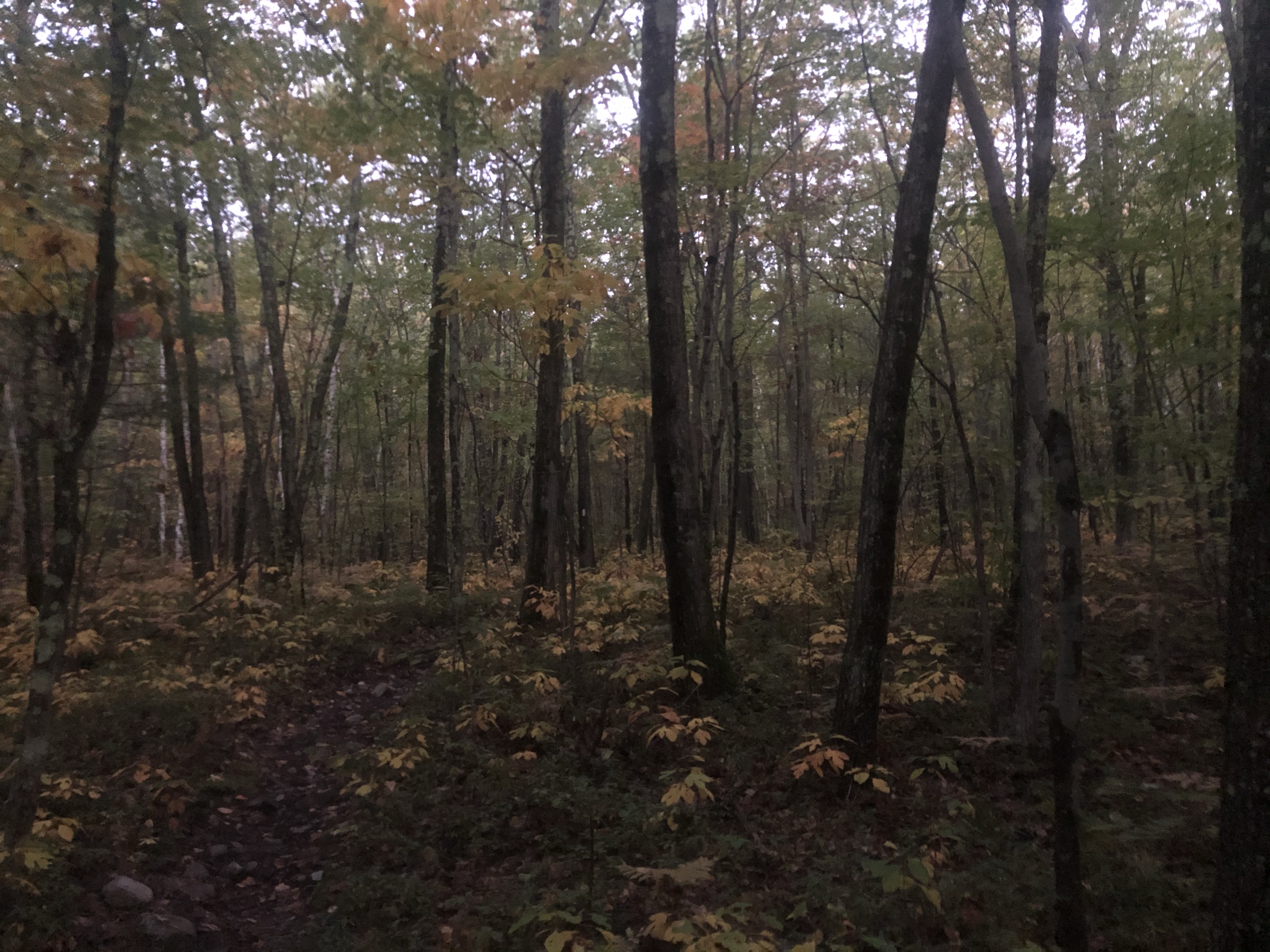
The Mailman headed South, and we headed North. For us, I suspected and was rewarded with being right, that the trail pretty much ascended all the way to the top of Greylock. There might have been a sibling peak, but it wasn’t more than pimple on a bears back. This was going to be our highest ascent in Massachusetts. The highest we had been before was Mount Everett on our first day, and to be honest, that mountain seemed to be a harsher environment for vegetation. Greylock actually had decent sized trees all the way to the summit, where as Everett had those squattish trees/shrubs, that look tall in photos, until someone of normal build stands next to them. Maybe Everett doesn’t have as much organic material to anchor in, and that is why it is more scrubby. Whatever the reason, the AT at some point felt like a stream, and added to that, a need for trail blaze maintenance meant that the “You can always see the next blaze from your current blaze” property of the AT was severely challenged, but without any real obvious alternatives, what we were on, MUST be the trail.
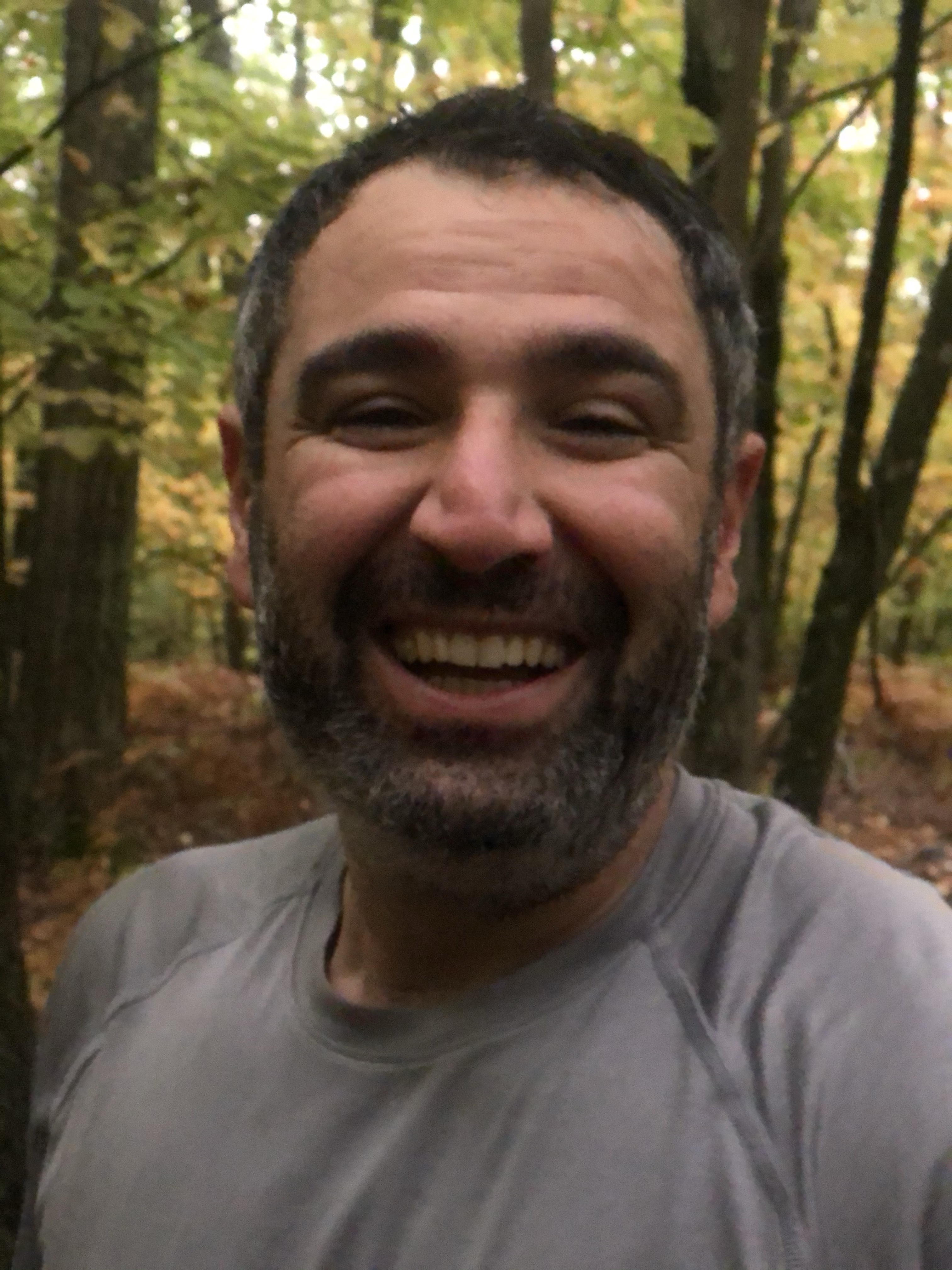
Something I didn’t mention yesterday, was that Paul immediately took to Ali. They fell right into instant easy conversation, that continued on into this day’s hike. Ali emigrated here from Iran, grew up in the midst of the revolution there, knew the repression and corruption of the leading clerics, and wanted more for himself. Applied for a visa, got accepted, and here he is. I told a long story in a few short sentences (something that I can’t do when in full oration), but Paul kept peppering Ali with questions, and Ali kept responding with answers. So, happily, and in full conversation mode, we ascended Greylock.
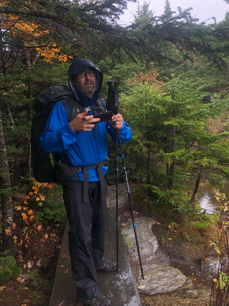
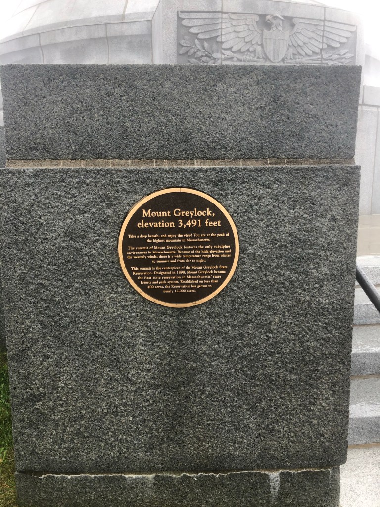
There are at least two roads that climb from different directions that eventually converge to reach a parking area near the top. They did not pave a parking lot on the summit, thank you very much. It’s about 100 feet below the summit, and then you have to walk the rest. However, there is a lodge on top of the mountain. Not the tippy top, but right next to the installation that marks the summit. The Bascom Lodge. It’s not huge, but it isn’t a lean-to either. We finally reached the summit and there were two truths awaiting us when we emerged into the open. We were wet on the inside, and if you aren’t moving and generating internal heat, then you are cooling off, and there is no truth like WIND to cool you off instantly. Wind is a killer under the right conditions, and not more than five minutes after we were hanging around reading the plaques around the memorial, I said something like “I don’t know about you guys, but I am freezing and need to get inside.” So, with that said, I beelined to the lodge. On the approach, I sensed that the lodge was of limited size, and taking my pack inside was probably not the right decision to make, so I dropped my pack onto a bench that was not directly in the rain, but wasn’t completely protected either, grabbed my wallet (and Mask!), and dashed inside. I saw no reason to linger outside for my two amigos. They will come in when they are cold enough.
The lodge IS a small place on the inside as well, and it was implementing full Covid restrictions, in that there was one way in (designated in), and somewhere else was the designated out. I came in the in, didn’t know where the out was, but I walked right into an area with chairs arranged, and people in their finest clothes, and flowers everywhere, and the chairs were arranged with a center aisle, and there were people milling about in Tuxedos that looked like “Best Men”, and there just wasn’t any obvious place for a person like me who has been in the woods for 7 days to go without bringing my dirty self into the clean safe space boundary of one of these well attired people. I was masked, and I wanted to respect the 6 feet, but there just wasn’t any way to do that. I finally caught someone’s eye and indicated my desire to “cut-through”, and a corridor of safety (and avoidance) was opened for me. An information person in the center section of the structure pointed me to the café which was the mirrored open area at the other end of the building, where the exit was. There were some small tables, and a counter to order food, and the menu looked actually quite appetizing. I was starting to warm up, but it was close to lunch, and there was no way I was going to go outside and eat, so when Paul and Ali joined me, I suggested we order lunch and get as warm as possible before heading back out.
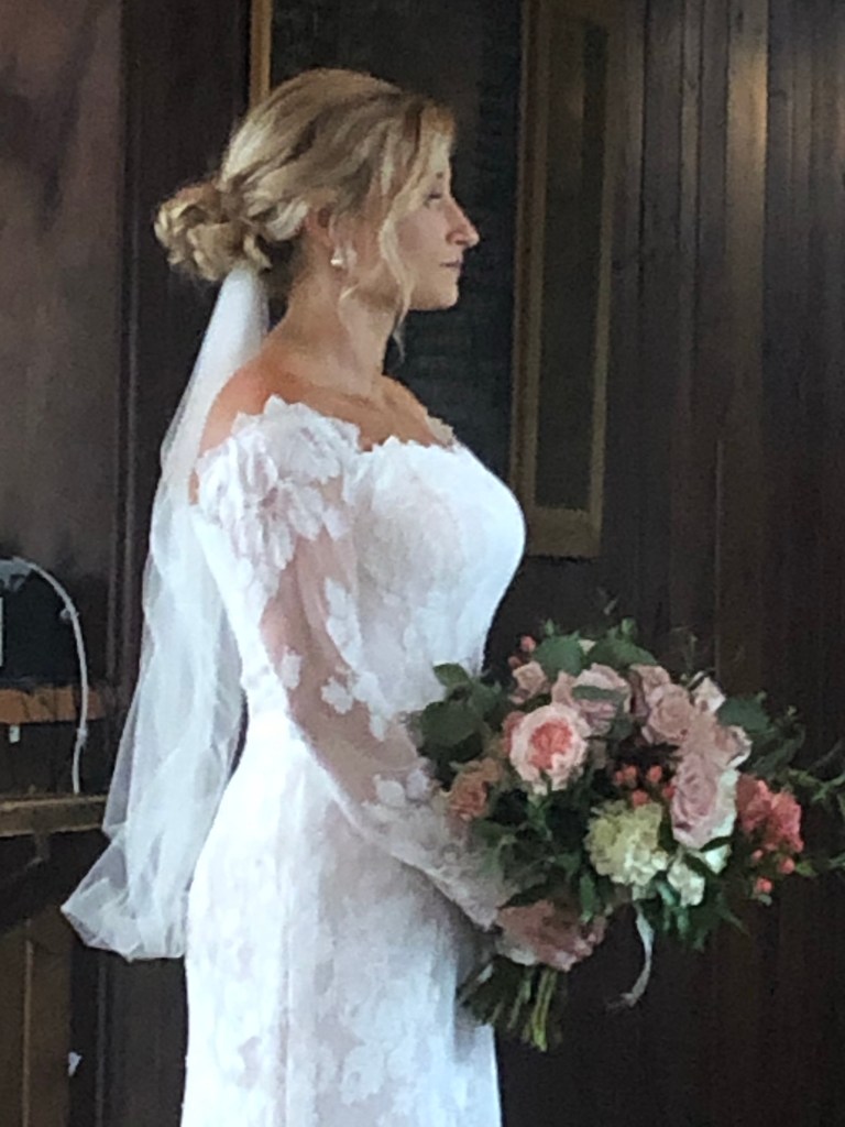
Now, I want to say this, when I said the menu had some pretty nice things on it, I was referring to New England Clam chowder; There was Grilled Cheese; There was Gruyere Grilled Cheese with tomato and bacon (I hadn’t started my vegan diet yet); and a few other nice treats. There was also hot dogs. Ali ordered … two hot dogs. I am sure he enjoyed them, and he did scarf them down pretty quickly. Maybe it was all the bone broth? Go figure. I ordered the clam chowder, AND the Gruyere Grilled cheese with Tomato and Bacon. Paul also got the Chowder, and maybe also had a sandwich. While we were enjoying our meal, the wedding party kept coming to the cafe to take pictures. Pretty sure, all of these pics were planned originally as outdoor shots, but, rain. So we got to see the bride, who was really quite beautiful, and her Dad, then the bride and the groom. The groom looked good, and I don’t know anything about him, but I am always reminded that we Congratulate the Groom, and wish Good Luck to the Bride. That usually means more when we “know” the Groom, but as a general rule, it probably applies more oft than not.
Hanging out and watching well dressed people pose for pictures wasn’t going to get us to our next destination, and we were a little bit in the way. We were physically in the way a bit, and when you think about, compositionally we were in the way as well. Just a bunch of pixels that would have to be removed from the final pics before being presented back to the bride and groom. So, arose we did, and back out into the wet and the wind we egressed the lodge. We might have been warm, but that didn’t last very long at all. With our masks stowed, we hefted our packs and set off for the memorial, which didn’t take long to get there. I was already feeling the cold again, so with abrupt quickness I quickly dismissed Paul with “Paul, I’d love to have a long goodbye, but I’m cold AF, so THANKS for coming out to play, and let’s stay in touch.” and after Ali and Paul exchanged their fare-thee-wells, we split and started our descent. Fortunately it didn’t take long to get back into the trees, and into the trees is where the wind doesn’t blow so damn hard, and the chill abated, and I was happy again.
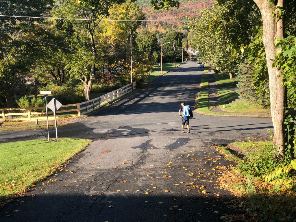
The last town we would pass through was North Adams. As I write this, it is now post election 2020, and the breakdown of Blue/Red in Mass confirmed that most of what we had hiked through was solid Blue territory, however North Adams was in a slightly Red county, and would be where we saw our first Pro-Trump anything. To get there though, we had to descend from Mass’s highest elevation, and we had to cross the Hoosic River, so there was going to be a LOT of descending going on before North Adams. Fortunately, we had eaten most of our stores, and not carrying too much H2O kept the packs fairly light, and so the impact on our feet and legs didn’t feel all that bad. There was no burn in the thighs from constantly braking/checking one’s descent. The weather started to turn for the better as well, and to add to our changing fortune, we picked up some company on our descent. No one that we were talking to, but there were a number of various groups that were out for a hike in the rain, and they were going the same direction as us.
To say that the AT goes through North Adams, is maybe a little misleading. Really it cross a stretch of land that lies between North Adams, and Williamstown. There isn’t really much there there. Residential mostly, and some businesses near Route 2, but nothing that backpackers would be looking forward to. After crossing 2, there is a footbridge over the Hoosic, which apparently was enough of a river to base 19th century mill businesses upon. Maybe there is only so much financial health that can be wrought out of tourism, and North Adams is semi-left-behind. Perhaps that is why the area votes a light shade of Red.
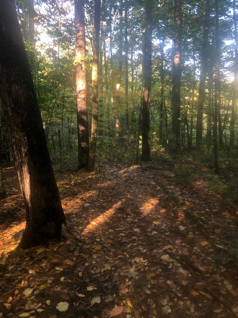
After crossing the Railroad, and a road, it was time to enter the woods again for the last time. The next time we came out of the woods, we would be finished, and looking for our shuttle driver. (Which reminds me, I had checked in with my arranged driver, and I was able to give her an estimated time if 9:15 the next day. She confirmed the time and place for the pickup, and we returned to our other endeavors.) The trail hugs Sherman Brook, which is actually the name of our camp site as well, and follows the brook/creek/cascade for next couple of miles, however before the trail disappeared completely into the woods, the last house/property we passed, had the feel of a secret garden with lots of little outbuildings, and landscaped with flowering bushes, and hedges. It felt like a little sanctuary. In addition to all that it had a water hose, and sanitizers right by the trail with a sign to AT Hikers, to help themselves to as much water as they wanted. The sanitizer wipes, so you could wipe down the nozzle before and after usage. Very un-Trumpian.
It really was a very nice setting following Sherman Brook. The sounds of the cascades fills the woods with an almost zen-like background. The ascent was never all that challenging, as the trail stayed pretty close to the brook. When I plan cycling routes in areas I know to be hilly, I look for two things: roads the hug a creek, and roads that go where the choo choo goes, because you just won’t find steep gradients in those situations. The choo choo is nice because it means a long stretch of easy grade, but roads that follow waterways against the flow, have a grade that is easy to pedal. It’s when the road leaves the water, that the real challenges begin, and after a couple of miles, the AT split away from the brook. With the name of our camp site being the name of the brook, one might think that our camp site was along the brook, but it was not. The further we ascended, that farther the brook diverged away from us, so that by the time we did reach the branch trail, the water source was actually a feeder creek that emptied into the brook.
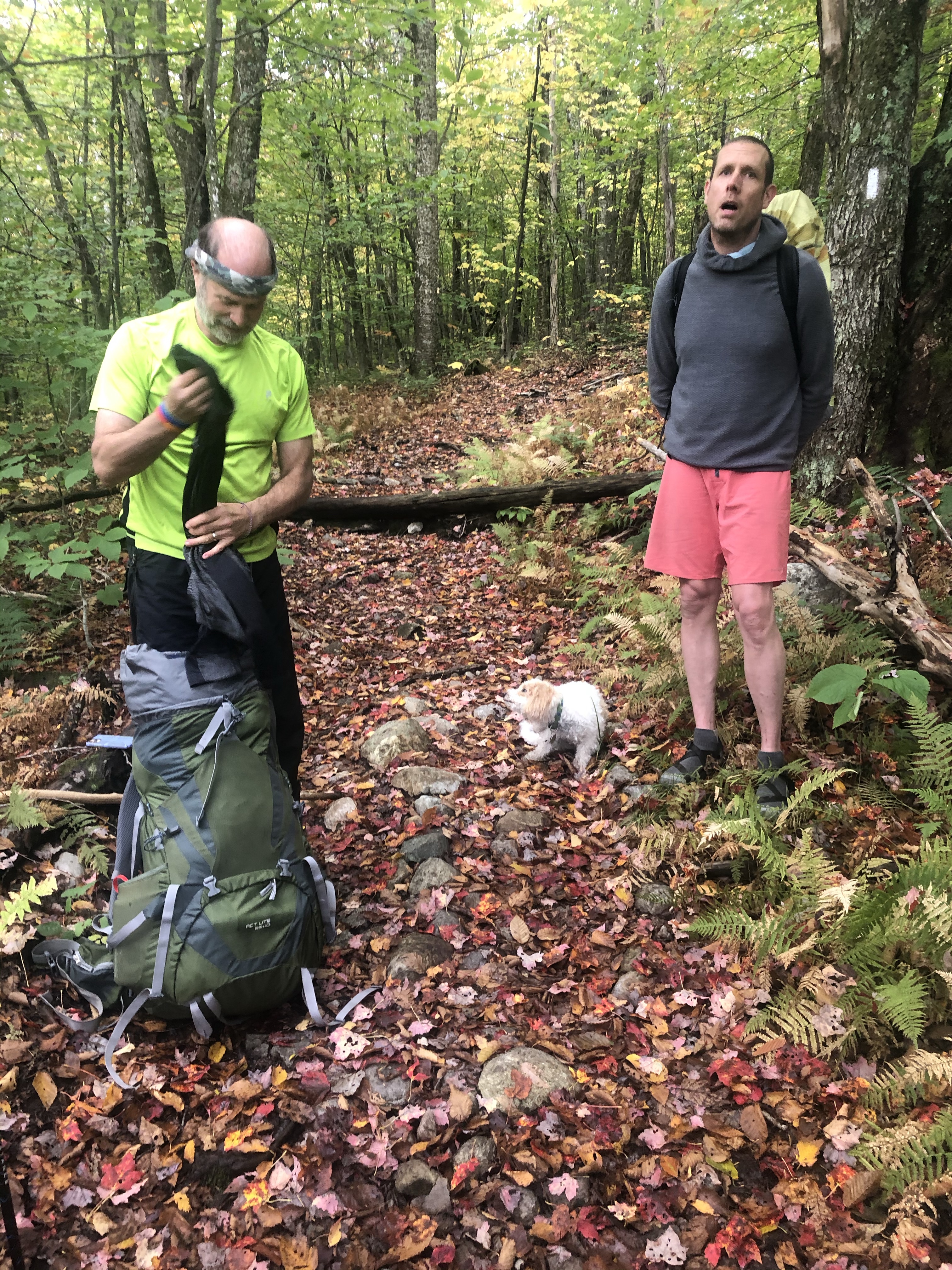
As it so happened, a South bounder was just on his way to get water when we arrived at the blue-blazed branch trail. “.2” to the camp site. We chatted quickly, we exchanged trail names, his might have been “Trouble”. Not entirely committed to that memory. He was younger than me, older than Ali, and very full bearded, but he indicated that maybe we might get together later after we set up and got settled in. We said our “See ya laters”, and then we proceeded to knock out the .2. Maybe it was really .1, but it was not the easiest blue blazed trail to follow, and soon I ended up in a tent spot, that felt very isolated. There was a platform, so it was a definite spot, but it didn’t “feel” right, because I couldn’t see any other structure from that spot. I couldn’t see the privy, I couldn’t see any other tent platforms, and I couldn’t see any kind of a camp site sign that showed where everything was, which was how we found all the other camp sites. There was some kind of “Welcome to ‘insert camp site/shelter name here’, water is …., the privy is …., ” and etc. I couldn’t even locate what looked like inter-camp-site trails, but Ali, was a bit more inspired, and asked me to wait, and set out to look around. Soon he came back with the real scoop, and this was an outlier spot, and the main site was just another 200 yards into the woods. I followed, and we found another tent platform, that wasn’t all that far from the privy and the bear box. “Trouble’s” tent was pitched about 50 yards away, and he seemed pretty oblivious to us. “Getting together” seemed like it would never happen.
Ali took the platform, and I set up my tarp just next to it on a fairly nice level spot of soft earth. It was too late to scrounge for fire wood, so we would not treat ourselves to one last campfire, but it wasn’t all that cold, and we really weren’t all that wet, and so, we would just take care of the necessities, and go to bed early. Ali, bless his Princess Persian Heart, went to get the water, and I laid everything out, to get ready for his return. We used the platform edge as our picnic table, and I laid out all that we needed to go through. I don’t think we really NEEDED to go through all of it, but get through the incidentals.
- Finish off the sour dough
- Use Marmalade
- Finish Makers Mark
- Eat Creme Brulet
- Finish Paul’s salami
- Our normal dinner’s Katmandu Curry for me, Bone Broth for Ali
- Make a dent in some Vodka that Ali had as well.
That was a lot of incidentals! As much as I didn’t like the Katmandu Curry I had on evening 2, this one was better. I am not sure what the reason was, but maybe I let this one set longer, and maybe I stirred it more, so all of the ingredients were involved. Maybe the rice was fully hydrated. The sauce was thickerer. I don’t think I will buy it again, but the reason I was eating it this evening, was because I had put off as long as I could and there was nothing else, other than all those incidentals, to eat. I had to force Ali to finish the Makers Mark, he wanted to defer it all to me, but I know Ali, and Ali likes the Makers Mark, and I wanted to be sure he got some on our final night together in the woods.
All finished, we brushed our teethy teeth, and flossed our flossy flosses, and then bear boxed our bear boxables. I think I had exactly two rolling papers, and the dregs of loose tobacco, and I was able to roll one last cigarette for a little relaxing smoke before turning in for the night. Ali and I reflected on the last week, and we really were on the cusp of knocking the last little bit out. Other than losing Keven, and Terry on day two, we adhered to our schedule, and didn’t have to adjust of the plans. We would set the alarm early, as we had a 9:15 engagement. We had a little over 5 miles to hike, so if you worked backwards, if we knocked out 2 miles an hour we would need 2.5 hours to hike, so that says on the trail by 6:45 latest. We didn’t really need breakfast, but we did need coffee, and we were tented and tarped, so we needed a bit of extra time to break down camp. So if we allotted an hour for all of that 5:45 would be the wake up time. I set the alarm for 5:30, and that was that.
Of course, I didn’t really sleep all that well that night. Why? I don’t know. I am 61? I smoked that damn cigarette? I ate the last of the salami? I was anxious about the end of our trip? All of the above? Whatever it was, I was awake already when the alarm sounded. What I could remember, was I was awake until 2 or 3, and then I finally dozed off. I awoke for a pee around 4:30, and then I simply lay there until the alarm sounded. That’s my sleeping life these days.
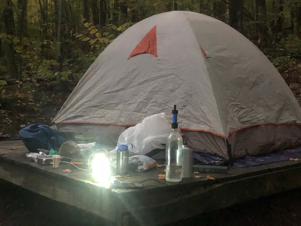
With the alarm sounded, I heard Ali get moving, and so I rolled out of my bag and got myself moving as well. Yes, it was still dark, but I had small portable fluorescent camp light, and I lit all three bulbs to cast as much light as we would need. First thing was get the water a boiling, and then set about breaking down my tarp for the last time. I don’t simply throw the guy lines in and fold the tarp upon itself. I painstakingly bundle up each cord so that it can easily be unbundled again, and then I fold it in upon itself. It makes for an easier setup the next time. Sleeping bag stuffs quickly, and the pillow even quicker. The air mattress deflates and rolls up, and soon my stuff was ready to pack. The water was boiling, and so coffee drinks were prepared: Ali and his cream and sugar blend; Me, my Starbucks Via Vienna Roast double in my Keith mug. Every sip is heaven.
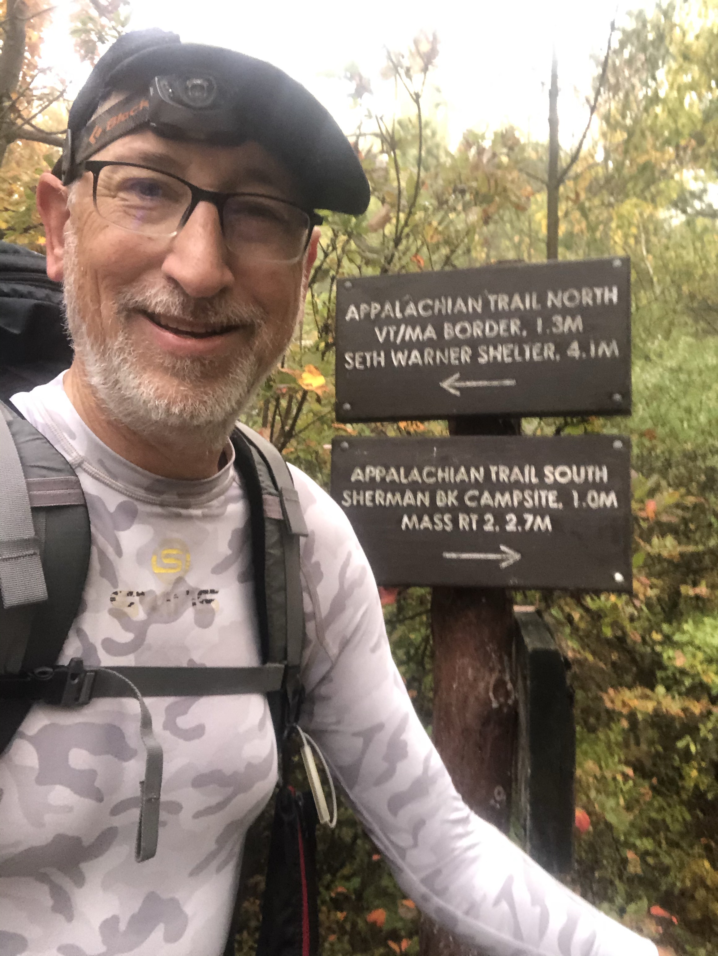
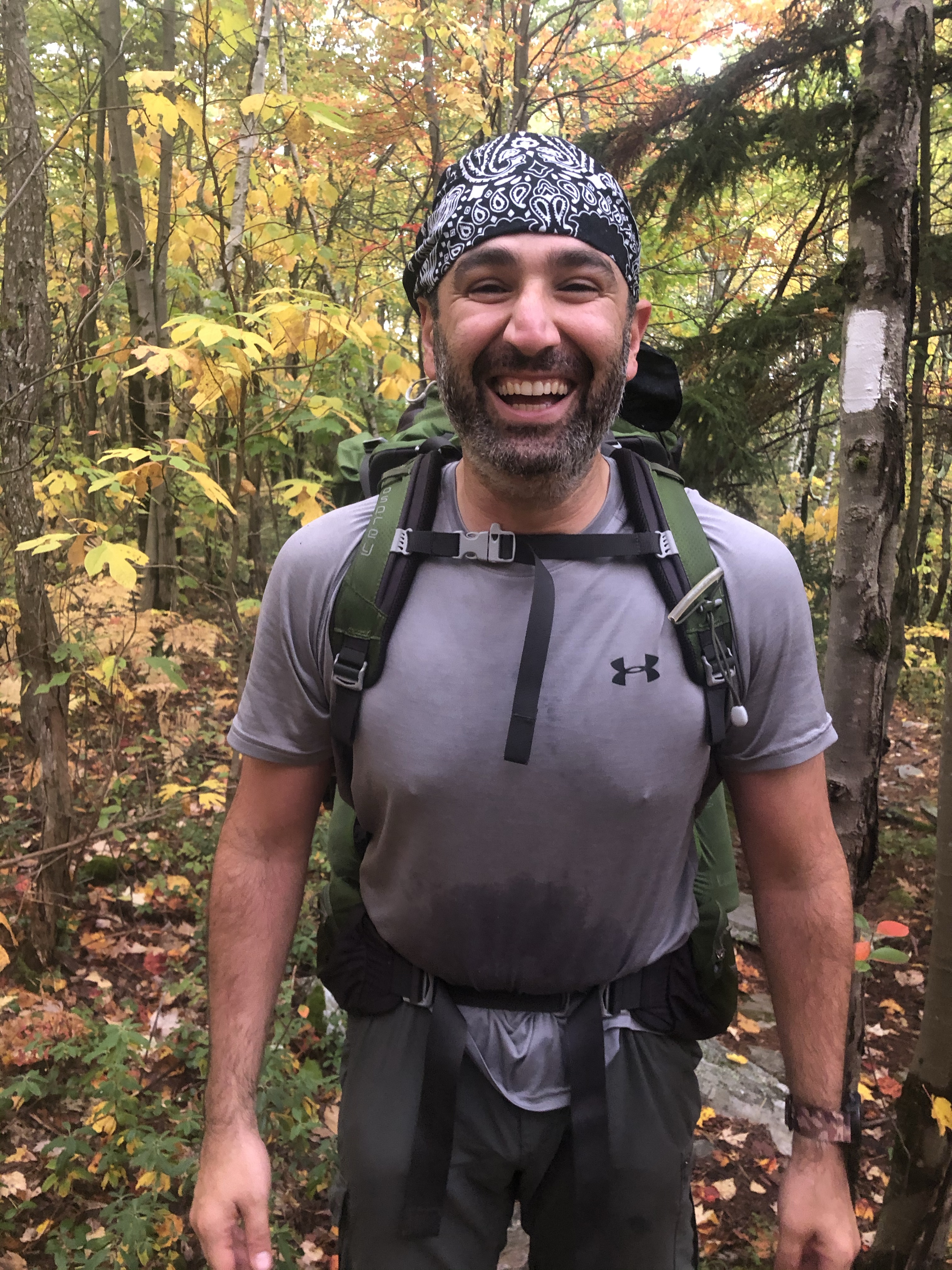
We were packed and ready to go, and “Trouble” wasn’t even awake yet. No need to say goodbyes, as we never really established hellos. Back out to the AT, a left was made, and we were moving again. 6:40. We were five minutes ahead of schedule. What lay ahead was the final Mass miles, and then Vermont. We were getting picked up in Vermont, just past Seth Warner Shelter. Our camp site was short of the ridgeline, so we had some climbing to do. First we had to attain the state line, then Seth Warner, and then finally County Road (more on that later). The trail started out a bit more rocky than expected, and I didn’t feel like we were making our grade in time management. When we finally attained a ridge I checked to see if I had any signal, and voila, I did, so I texted Debbie (shuttle driver), that instead of 9 – 9:15, we might be 9:15 – 9:30, and got an almost immediate ‘ok’. Not long after that we reached the border with Vermont. Now, this isn’t just any border. No, it is not. This is the Massachusetts/Vermont border where the oldest maintained long-distance scenic hiking trail exists, pre-dating the AT, The Long Trail. I have a history with The Long Trail. It was a fourth of July weekend trip, that Chris Regan, Bruce Garner, and I made the year (1977) we graduated High School, and we drove up in my Mother’s white Dodge Charger (Won on TV’s Sale of the Century!), and hiked an out and back section from Route 4 North. Then, in 1982, the year after my cross-country bike trip, Chris Regan, myself, and Susan Chambers (now Bellew) hiked the LT from the Mass border, to Canada. To be honest, Sue, and myself, left on Mount Mansfield. I don’t recall Sue’s reason for abandonment, but my knees were killing me after we re-supplied.
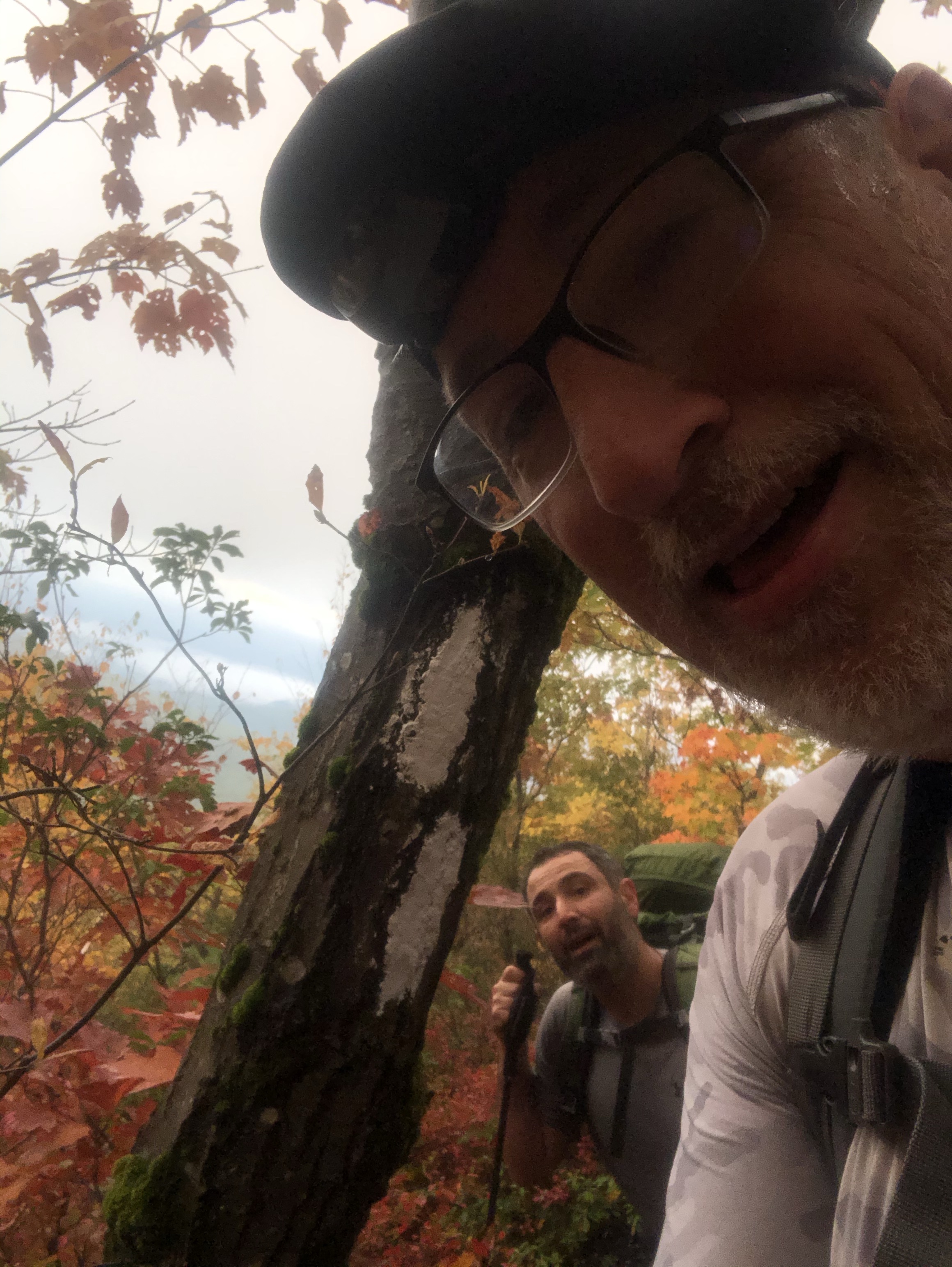
So, here I was at the beginning of The Long Trail, once again. More honesty. I didn’t recognize it one friggin bit. The sign was there. It said ‘Long Trail’. But my memory was starting off in a flat field, which very well may match up with the starting point of a blue blazed trail that came in from the West, but it all looked new to me. We snapped some selfies, and set off again. I was worried about our time, and so was trying to make sure we maintained a good gait. Tick, tock, tick, tock the clock kept going. “Time waits for no person”. The trail got easy again, and we were able to dig in, and really hustle. I looked at my watch, and thought “Hmmm. We just might do this.”
In the distance we heard motorized vehicles. We were seeking County Road. If you were seeking County Road, what would you expect? The closer we got, I just wasn’t getting the sounds associated with a major thoroughfare like a County Road would be. Instead it was deathly quiet, except for those motorized vehicle sounds which were not automobile or truck sounds. They were ATV sounds, and soon we were in a power line cut, nearly upon County Road, when we spotted the army of ATVs a couple of towers down. “Ali, by my reckoning, the road had to be no more than 300 yards that way on the other side of that line of trees. I think we are just about done”, and sure enough, it was less than 300 yards. We broke through onto County Road, a dirt road, next to a little parking area, where there were a couple of vehicles parked, and I looked at my watch. 9:14am. We were on time, so I looked around, and since I had hired Debbie because we were going to be 4 people needing transport, it was highly likely that the van that was idling in the parking are was there for us. And that is exactly how it played out. Debbie, popped the back, we dropped our packs, closed the hatch, and crawled in via the passenger sliding door, Ali on the driver’s side, and me on the passenger’s side. I queried Debbie about County Road. “What kind of County Road is a dirt road? This seems more like ‘Middle of nowhere, Hope you don’t need immediate medical attention road’, and she laughed. “Welcome to Vermont!”
Since I had been expecting that we were exiting onto a fairly major roadway, it was actually a pretty long time before we even saw actual pavement. I don’t know how far it was but it felt like miles and miles were driven, all downhill, and all dirt before we began to see the first signs of civilization. This was Bernie Sander’s state. I am not sure that everyone in Vermont votes blue, so I didn’t want to say anything, but some of these initial structures we saw reminded me of West Virginia.
There was another thing. I just trusted that our driver knew where she was going. She shuttles AT people for supplemental income, so why wouldn’t she know the quickest ways around, but it felt like a loooooooooong time to get back to where we started. A quick google maps query from our starting point on County Road to Race Brook turns up 1 hr, 34 min. It took us over two hours to drive back, AND, we were in NY for some part of that. Understand not I do. I took advantage of the time to edit some photos and get my all my saved Strava efforts for the week uploaded. Ali took advantage of the time to pass out. Something I SHOULD have taken care of when I had the stronger Verizon LTE signal was my Venmo payment to Debbie for the ride. We were back at Race Brook, and there wasn’t enough signal to get the transfer working. We even tried using Ali’s phone as an AT&T hot spot, but we could not transact. So, we left Ali there, and had to drive almost 10 miles to get to an area that had a strong enough signal. And then return.
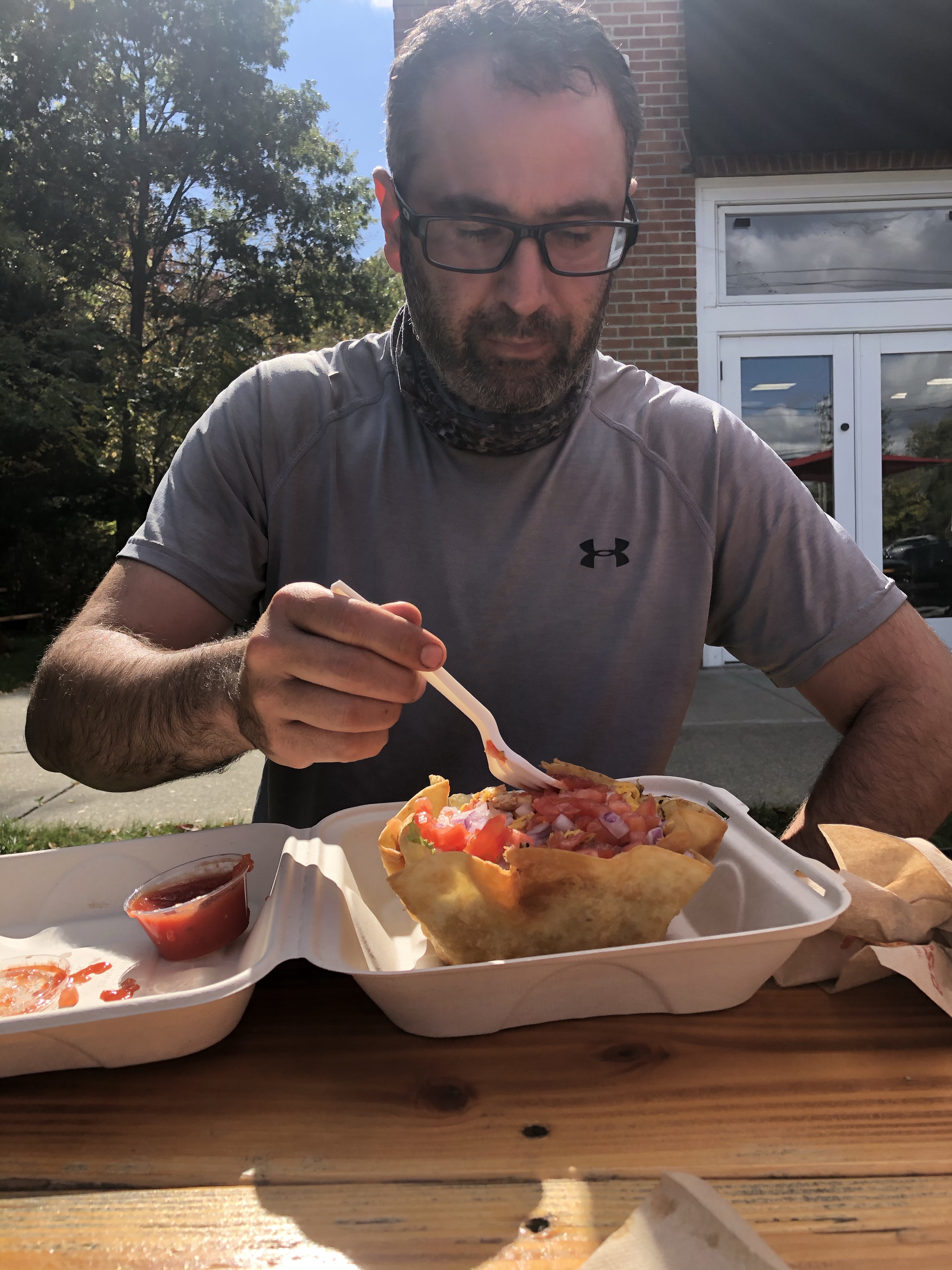
After retrieving the gear I had left in Terry’s, then Kevin’s, then the Sheffield Lodge, (Thank you Sheffield Lodge owner) Ali and I started heading home with an eye on a place to stop and grab some lunch. Since I mentioned the service issues, imagine that driving along in a low service area trying to get tiles downloaded for Google Maps to see where stuff was. Also we weren’t really sure what we wanted. We drove past a few places because it was too early for them to be open, and finally just before Rt 44 intersected the Taconic State Parkway Ali espied a Tex/Mex place in the style of a Chipotle where we could get some good inexpensive and healthy grub. I think it was a good choice, as Ali had 6 more hours of driving ahead of him, and patronizing a place that would have served us up a couple of pints of a delicious IPA might not have been conducive to driving those 6 more hours. We were still in our trail clothing, so yes, I was still wearing my kilt when we walked past all the outdoor eating tables, which were not empty and each one had more than a few who made double takes as we walked past.
With our hunger sated, a strong cell signal we navigated the best possible (at the time) route back to Ocean NJ. It had it’s moments of frustration, as it was a Saturday, and a nice weekend, and that would mean travelers out on the roads, but eventually there we stood, my garage door open, all my shit in my garage, and Ali with a look on his face that said “How do I get the fuck out of here?”. We did our Covid elbow hugs, I gave him the short list of turns he needed to make, and that was that.
Welllllllllll, it actually wasn’t all that. See, something I didn’t write yet, was that I had exchanged some texts with my wife Susan, and there was a house in Highlands that was just coming onto the market in a neighborhood where we had checked out a couple of other places before I ventured out on this trip, and I was supposed to meet her there at 3:30 to give it the lookover. So, I had to hustle my ass in gear again, and get all cleaned up and driven over to Highlands NJ to check this house out. Last year I was ready to not own a house for a while, and didn’t know how long “while” would last, but apparently it was less than a year. The walk through revealed a really very nice house, in a town that I would like to live in, on a street that I would be happy to live on. The selling agent, after hearing we were hungry, suggested One Willow. I had been thinking The Seafarer, but when we heard about the raw bar, One Willow it was. Now, that was that. BTW, there were 6 offers on the house, and ours was rejected.
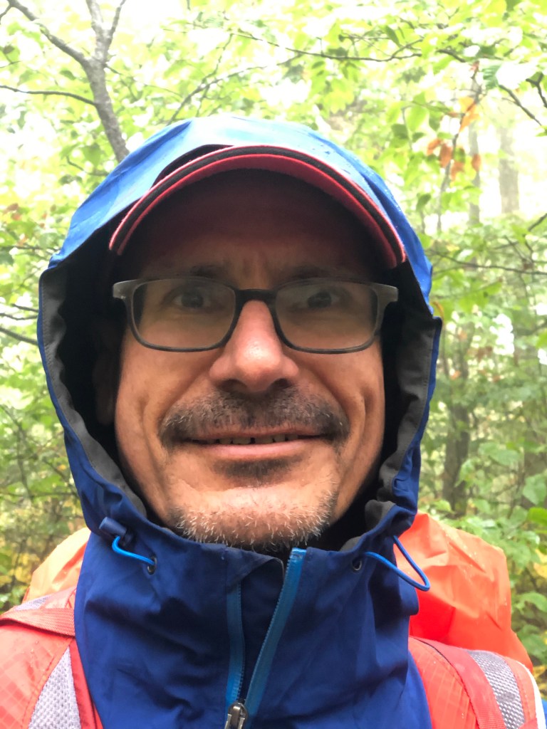
Morning Portrait 
Morning Portrait 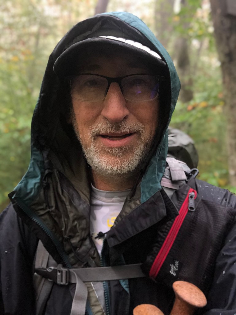
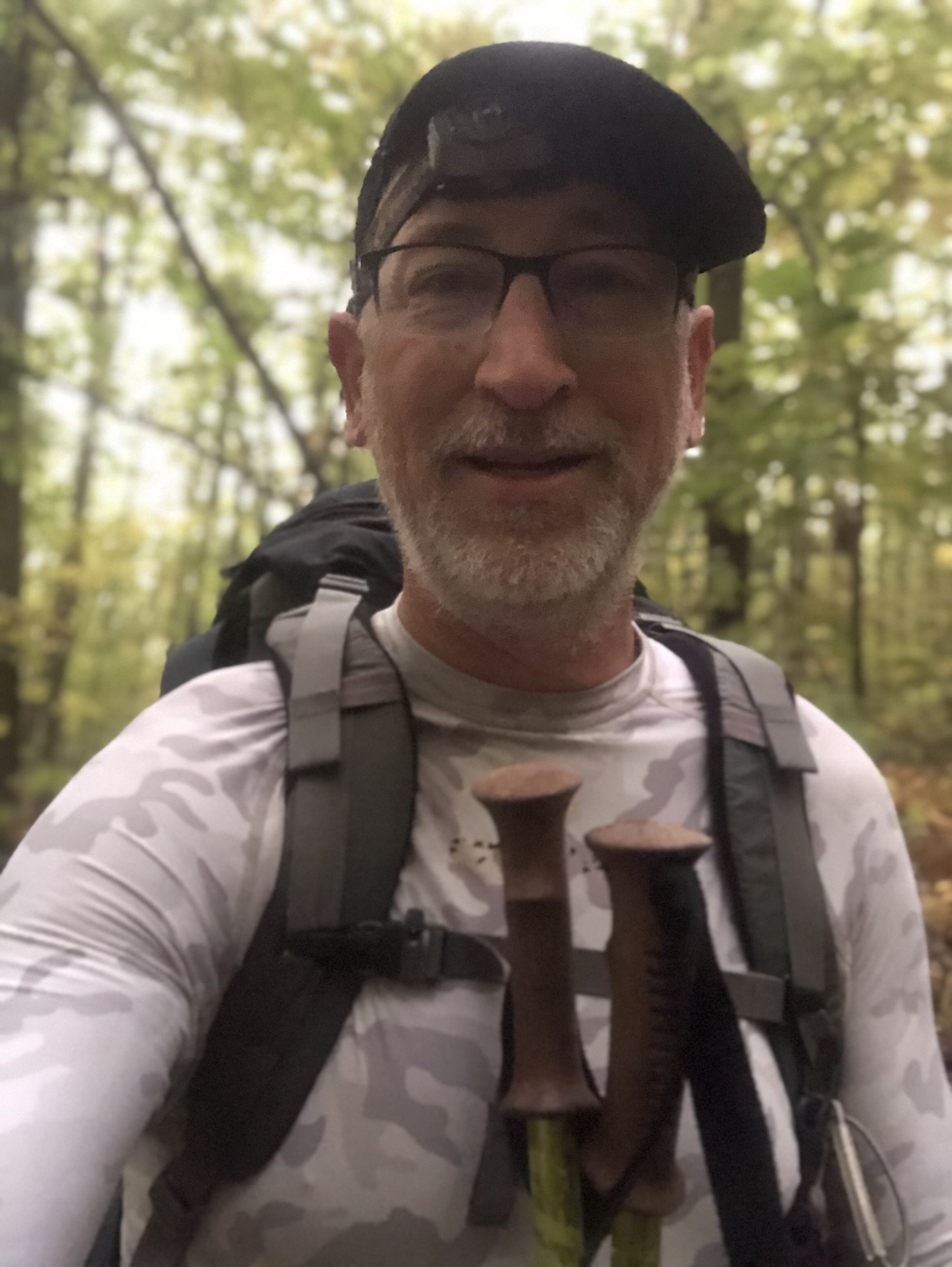
Morning Selfie 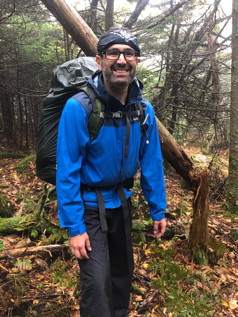

Applying Deoderant 

Is it wet yet 


What needs to be said? 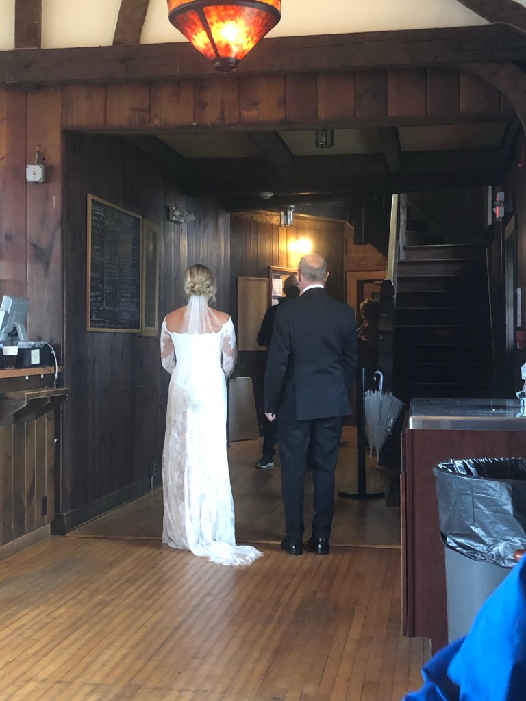
A Beautiful Bride 
He ain’t bad looking either 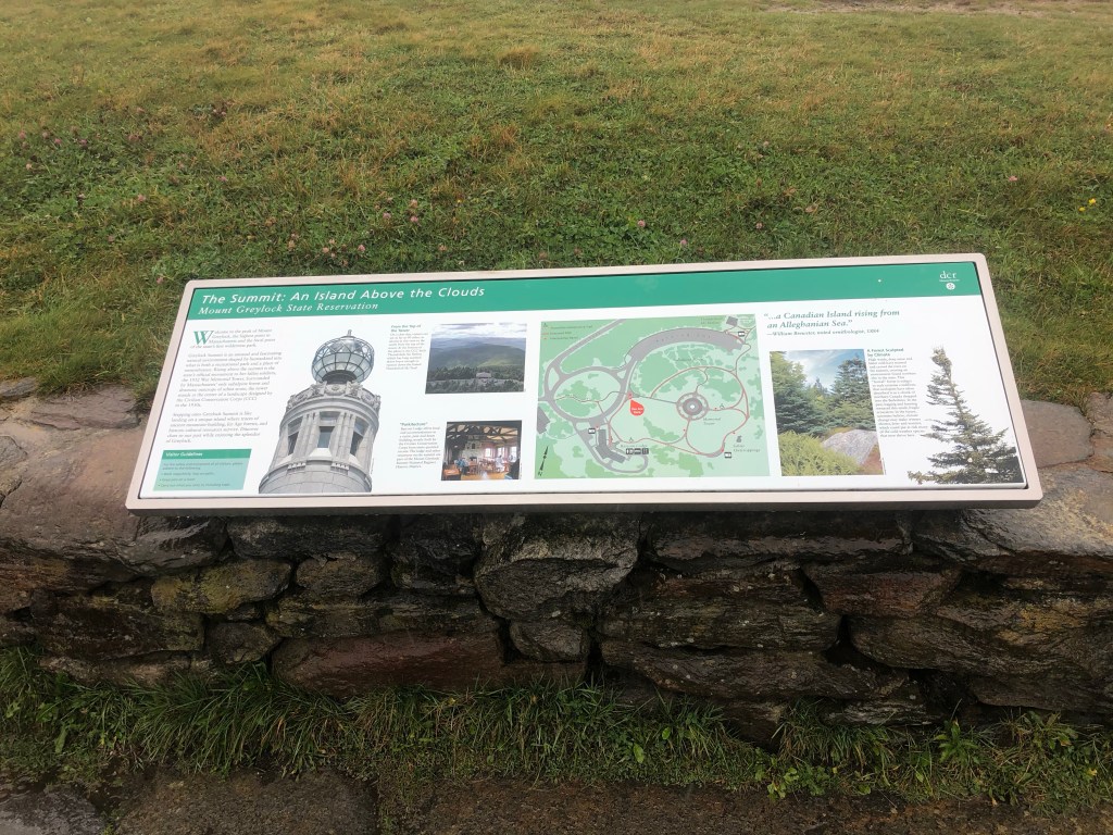
Up on top 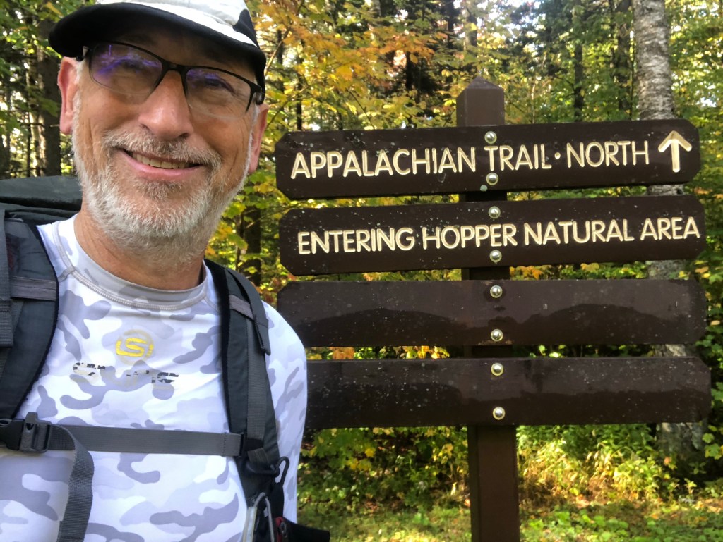

Doing a crossword 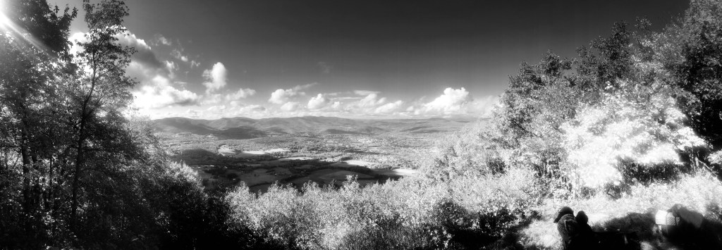
Greylock isn’t shrouded any longer 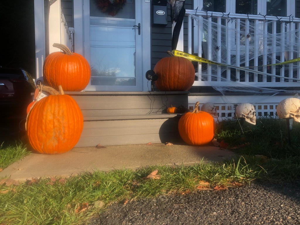
Halloween is Coming 
Southbounders 

The Hoosic 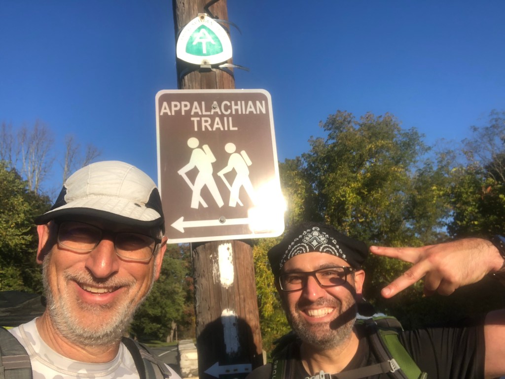
Don’t miss the turn 


Sherman Brook 
How Thoughtful 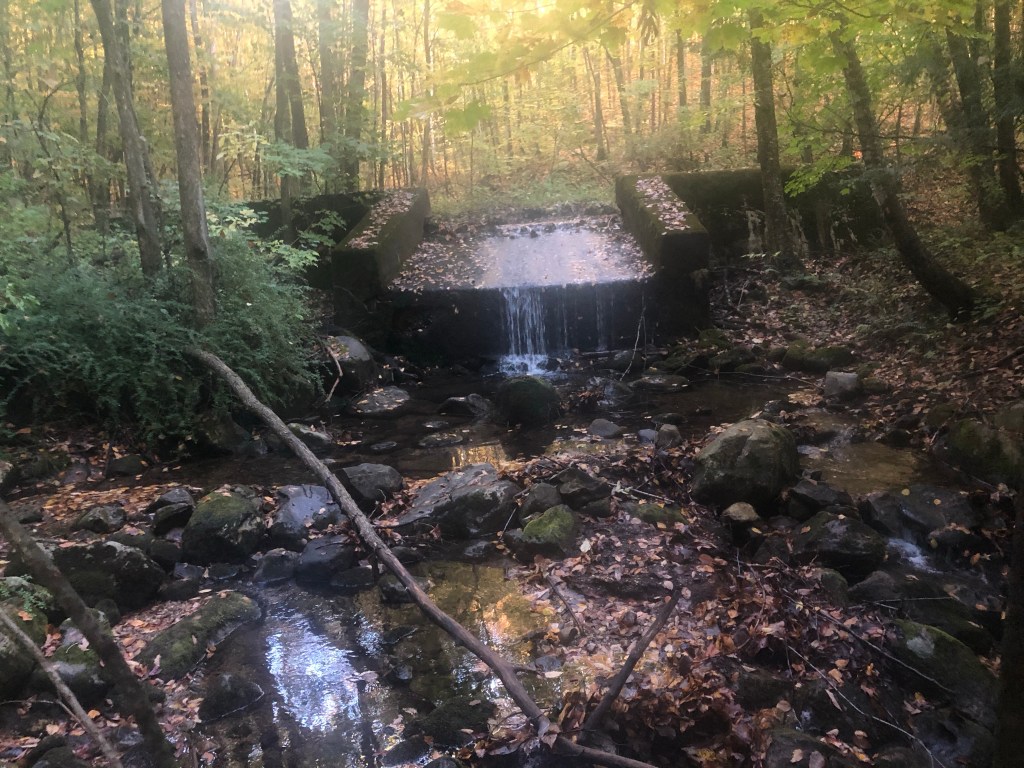
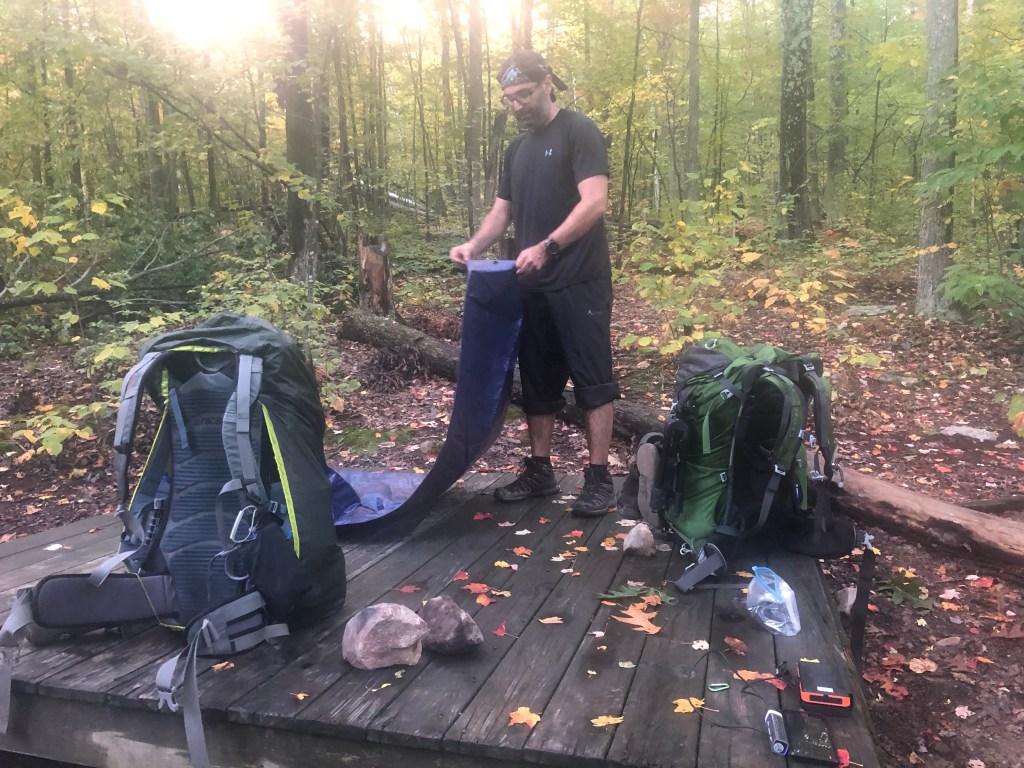
Making Camp 
Our Picnic Table 
It got dark

An eerie glow 
Hydrating 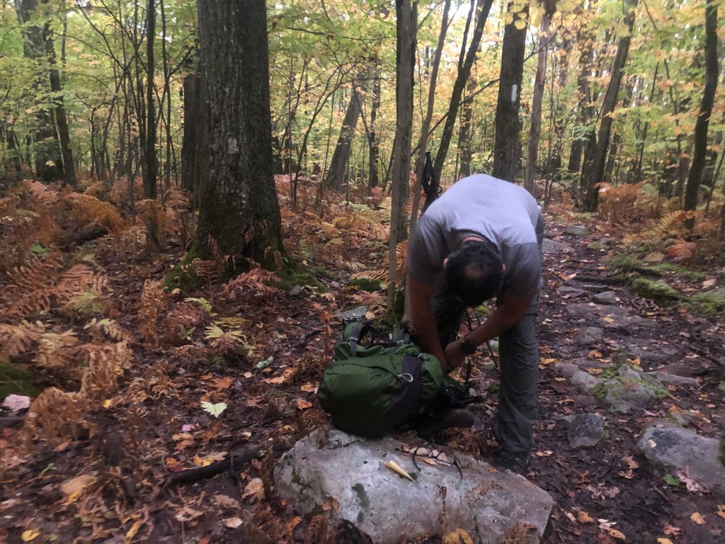
Shedding Clothes 
Morning Selfie 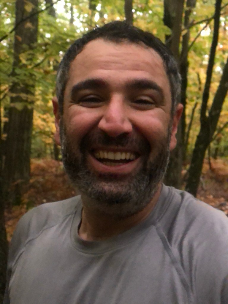
Morning Portrait 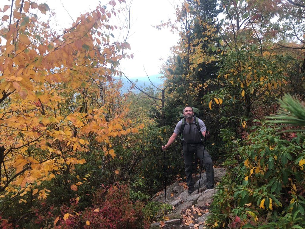

Left Turn for us. 

State Line 

The Oldest Long Distance Trail in the US of A 
South Bounder (Right), friend from Maine Left, actually knew who we were. 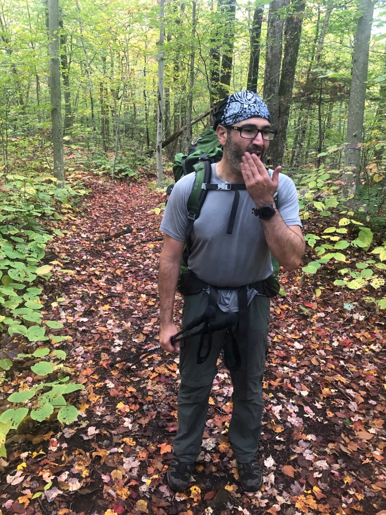

He is still there. 
So Close! 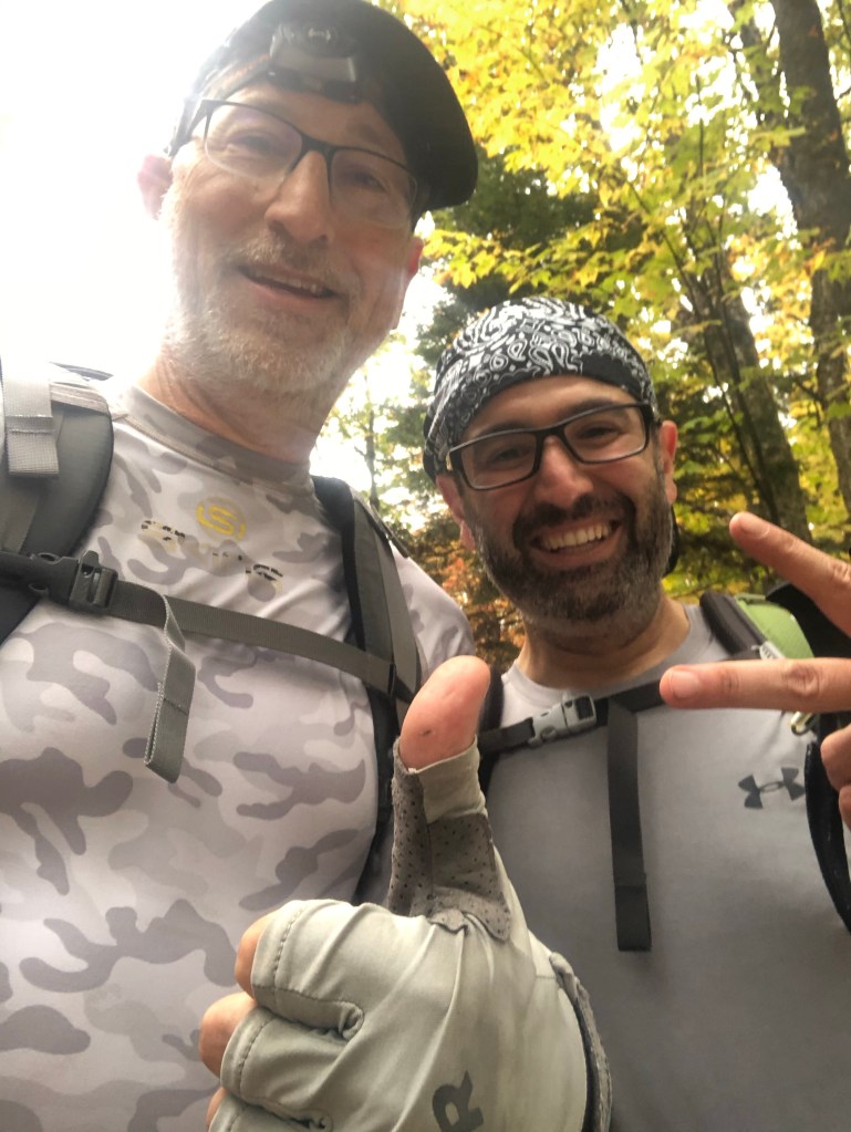
That is it! 
I Love Massachusetts 
Ali Passed out 

And now a long drive home 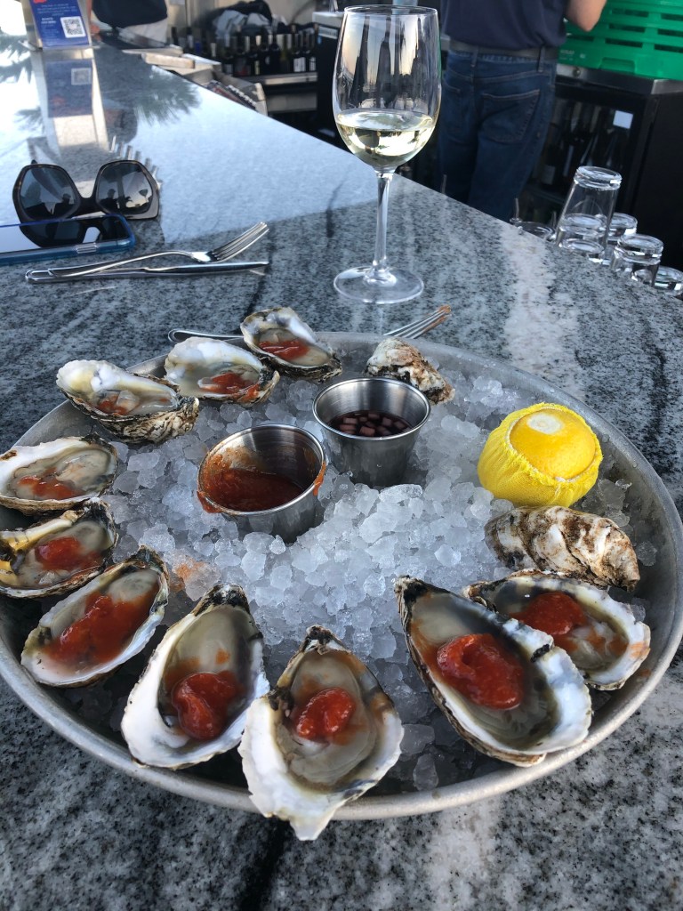
Yummy Yummy Yummy 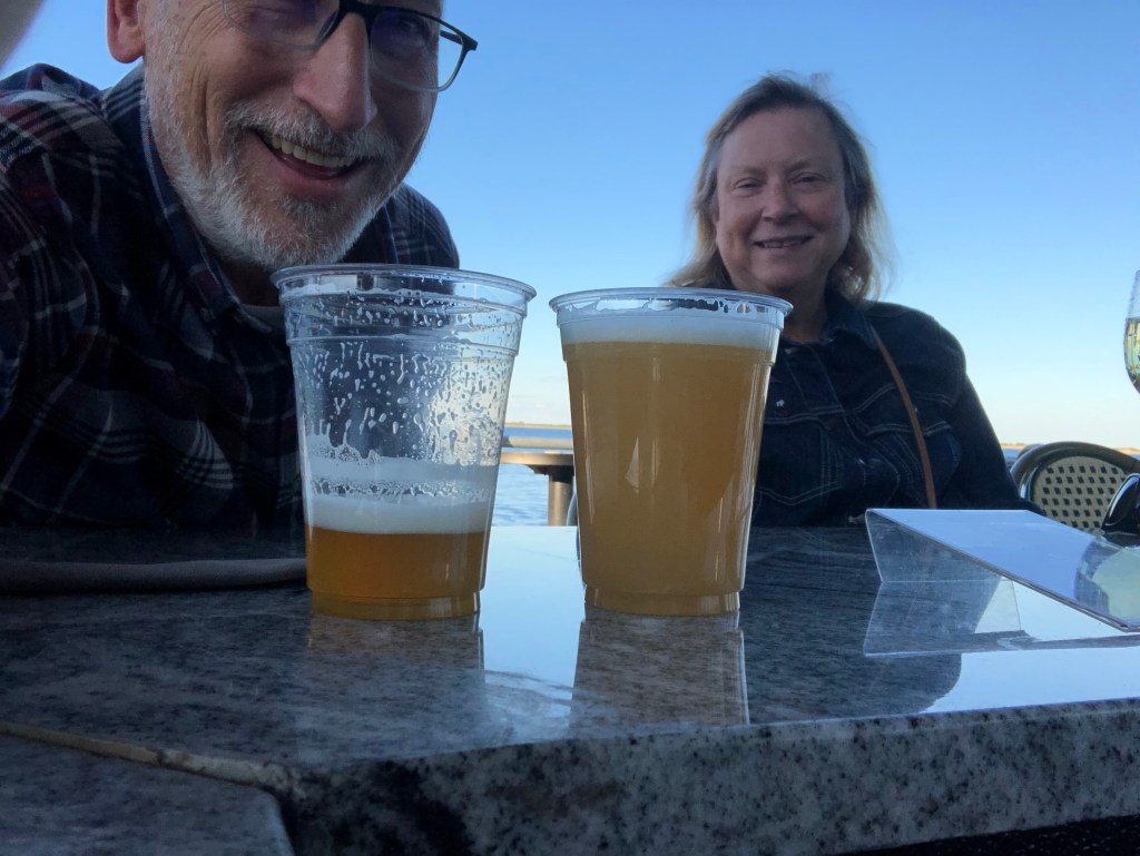
Finally a Beer or Two! 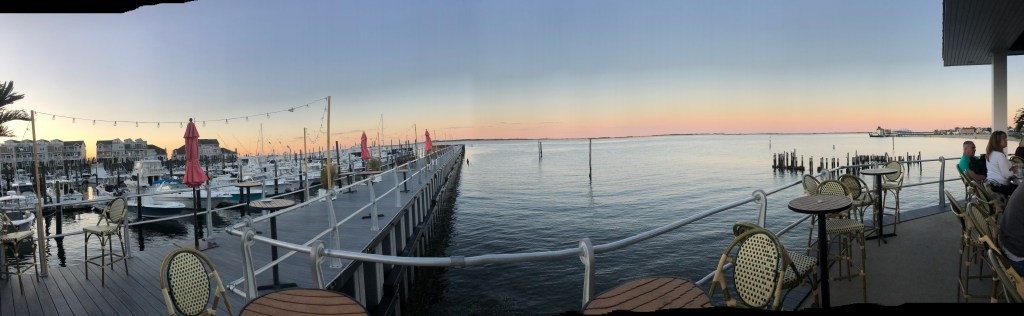
A Different Kind of View


Leave a comment