
High Uintas Wilderness – Day 2 – Even after a change in plans, a change in plans
October 15, 2014 § Leave a comment
I didn’t start taking pictures until we were really ready to leave, so it simply appears like someone took care of all the morning chores in camp and all we had to do was lift our packs and go. Of course, that isn’t really how it works.
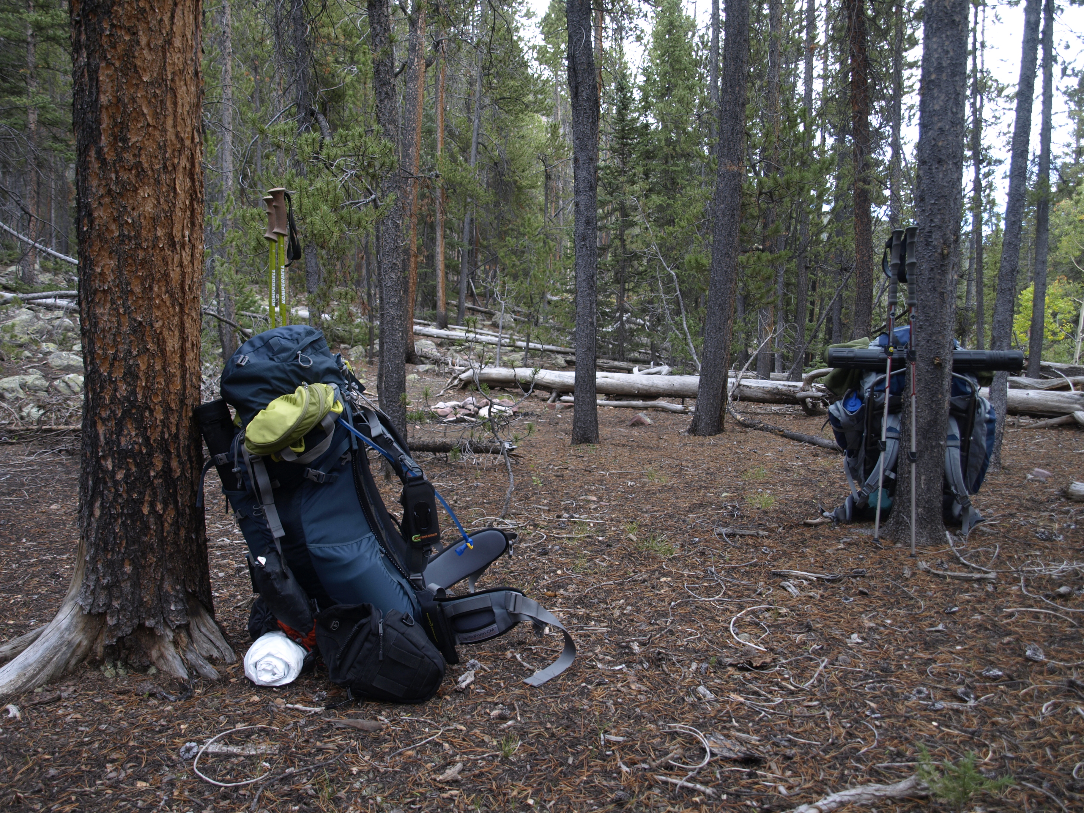
The camp is clean and the packs are packed. Larry and I were the first into camp, and the last to leave.
High Uintas Wilderness – Day 1 – A Well Planned Trip Never Goes As Planned
October 13, 2014 § Leave a comment
Full packs carrying everything we think we need with calculated duplicates (cat hole shovels, TP, pumps, etc), and starting out at 8400′ elevation. Destination is the trail junction up to the Garfield Creek Basin. The trail head sign says 9 miles, and the trail follows the Yellowstone Creek the whole way. It is important to keep in mind that this is a high basin that gets a lot of snow in the wInter, so the trail cannot follow the creek at its current water line. Therefore it meanders higher above the creek at times, so there are gains and losses, but in general we gain elevation the whole hike. 9400-9600′ is the final elevation for the day.
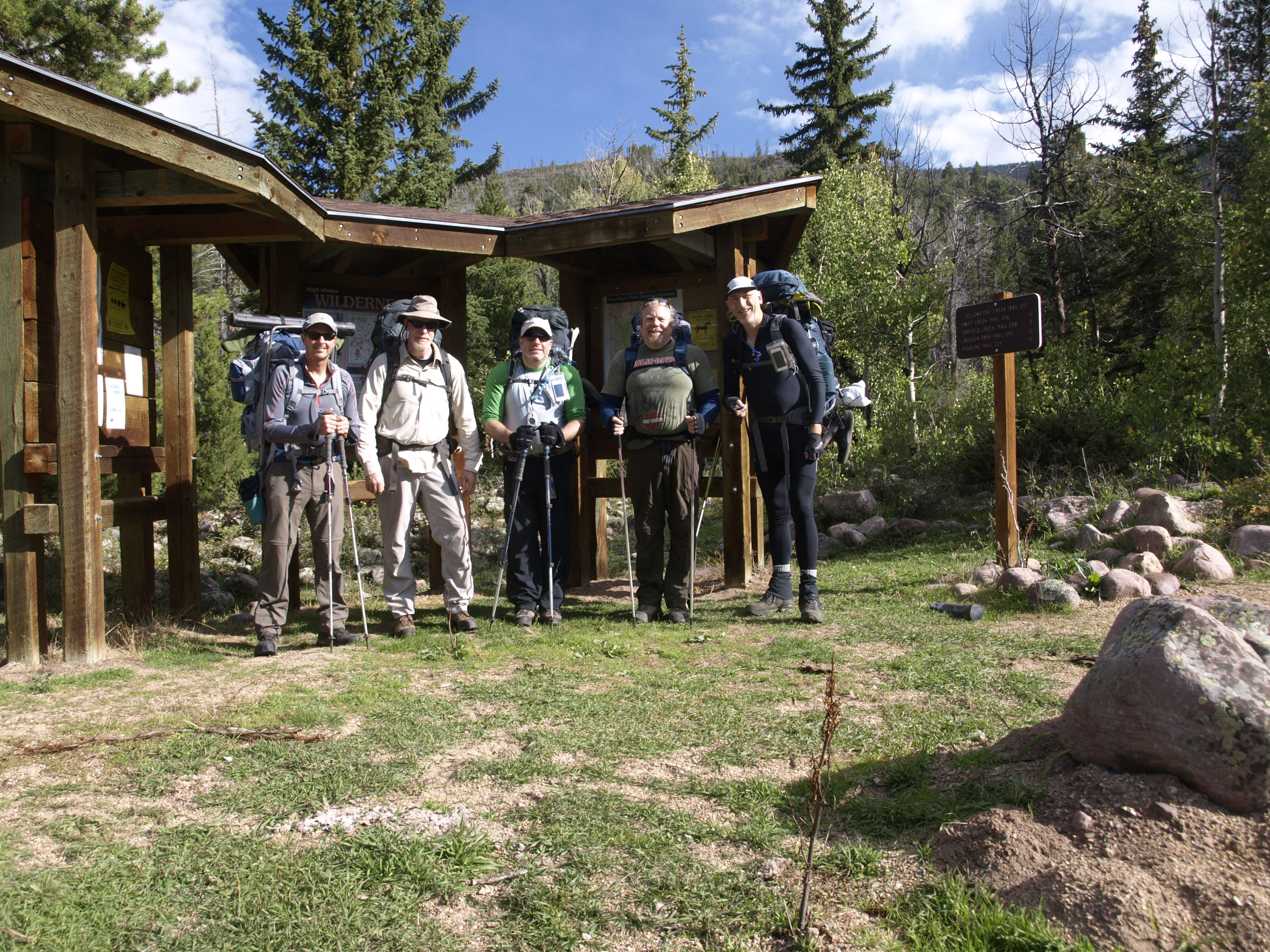
At The Trail Head
High Uintas Wilderness – Swift Creek Campground – Sept 12-13 2014
October 13, 2014 § Leave a comment
I first heard about the High Uintas thanks to my brother-in-law Walter Everetts, who after we did the Zion Wilderness in early May 2011, gave me an issue of Backpacker magazine that to him, was done. The title article was a story about a hike along the High-line Trail along the spine of the High Uintas in NE Utah, east of Park City. The Uintas are an E-W running sub-mountain range of the Rockies, and along with The Brooks Range in Alaska, are the highest EW mountain ranges in the country. I was going to say only EW, but I am having trouble corroborating that with matching Wikipedia source material.
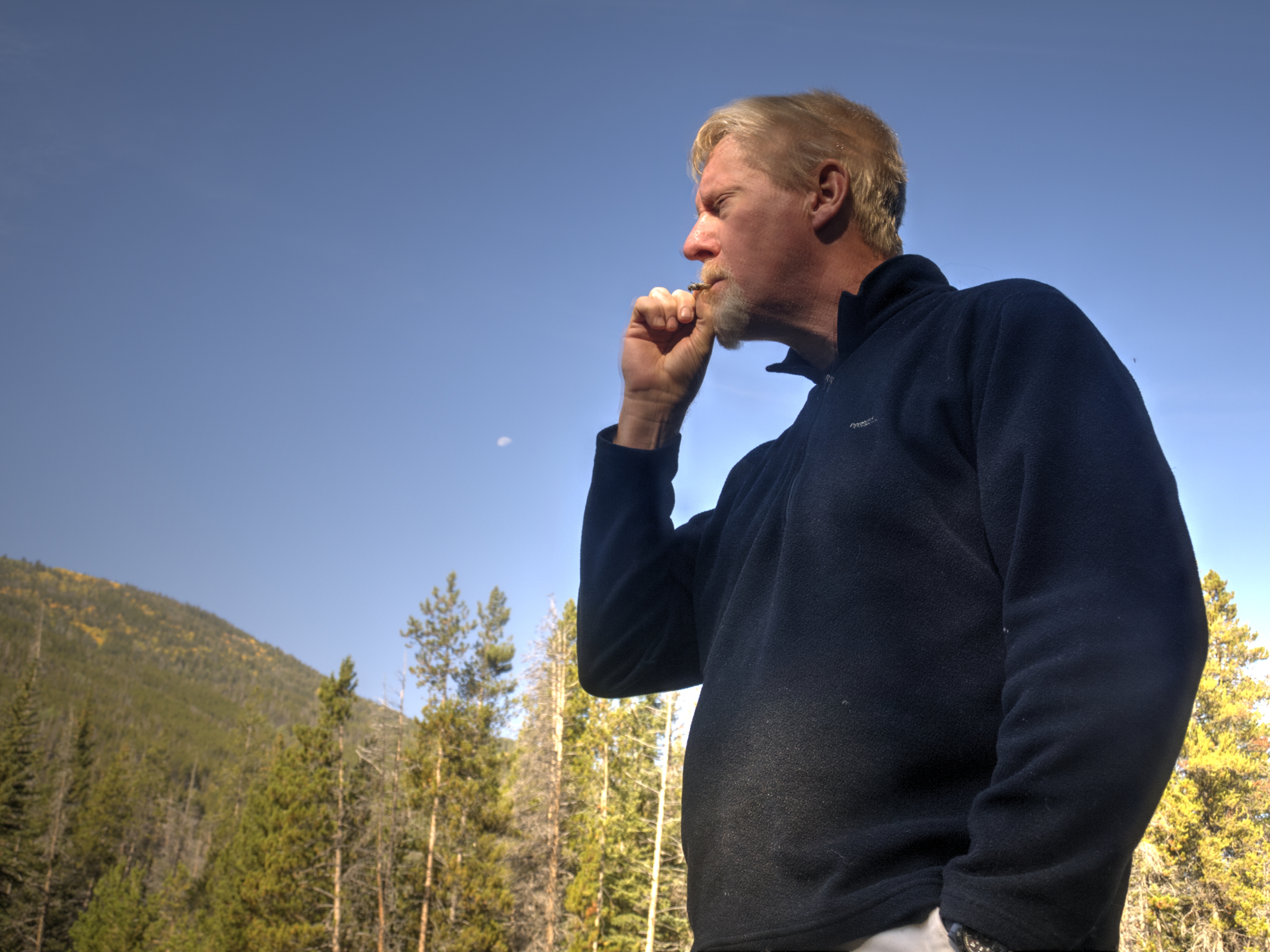
I know it doesn’t make sense some of it. Out here is the wilderness surrounded by nature, and we engage in vices. Here, both Greg and I brought fresh Bugler tobacco with rolling papers. It is so pleasing to roll a nice cigarette, light it, and enjoy it in such a surrounding.
