
High Uintas WIlderness – Day 3 – The roof of Utah
October 16, 2014 § Leave a comment
“Them mountains are mean!!”
I don’t really recall where that statement comes from. It might be from a weekend trip a long time back in West Virginia, but there is a certain wiseness to the statement. Mountains can be mean, because weather can form quickly. The higher the mountain, the more air it traps, and forces upwards where it is cooler, and the moisture begins to precipitate out, forming clouds, and later rain and lightening.

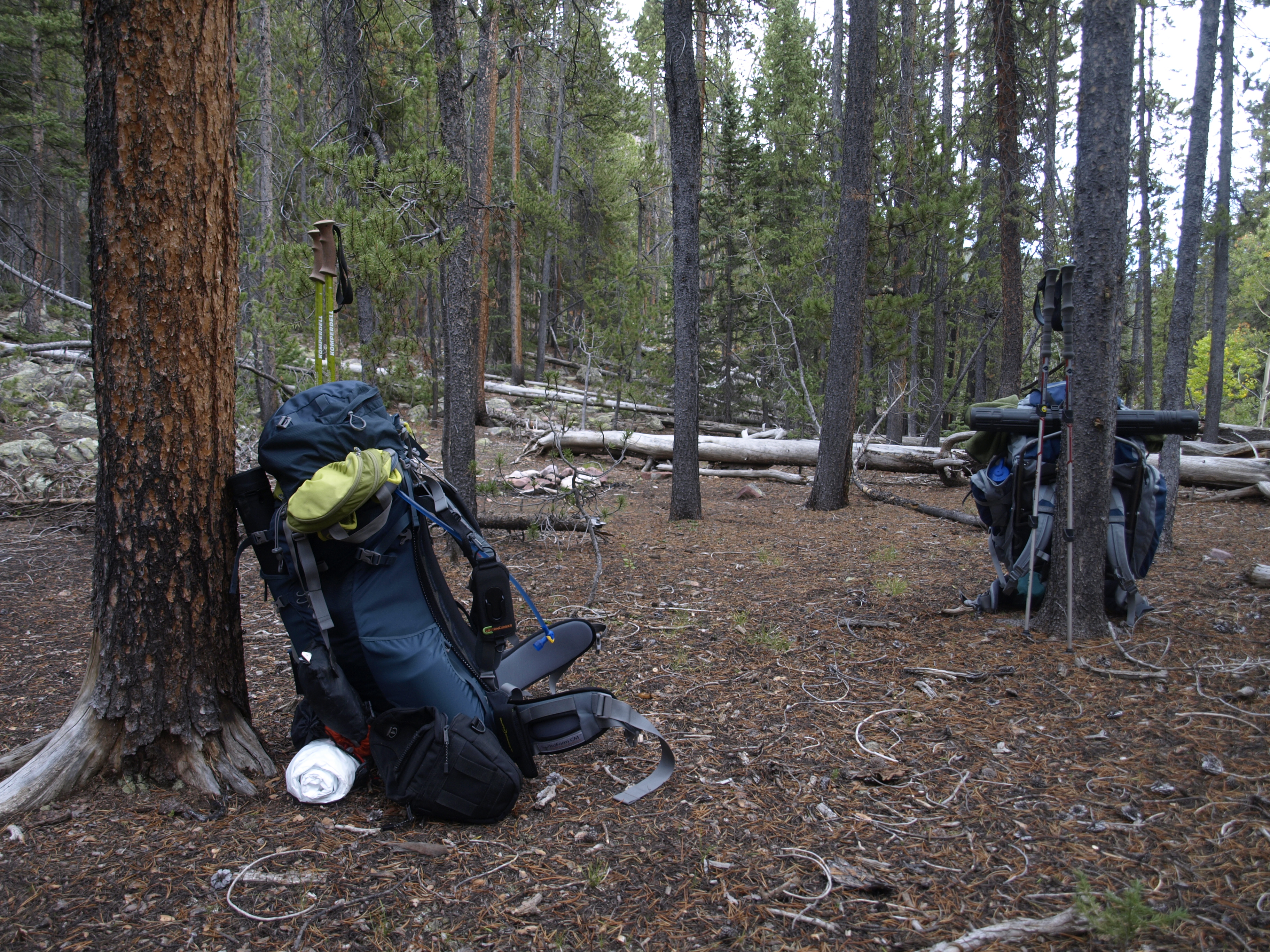
This is actually from the afternoon previous just after we got camp set up, but it shows our camp site from which we departed. The reason I know this is because there wasn’t a cloud in the sky when we began this day hike. Absolutely beautiful wide open blue sky o’er our heads.
High Uintas Wilderness – Day 2 – Even after a change in plans, a change in plans
October 15, 2014 § Leave a comment
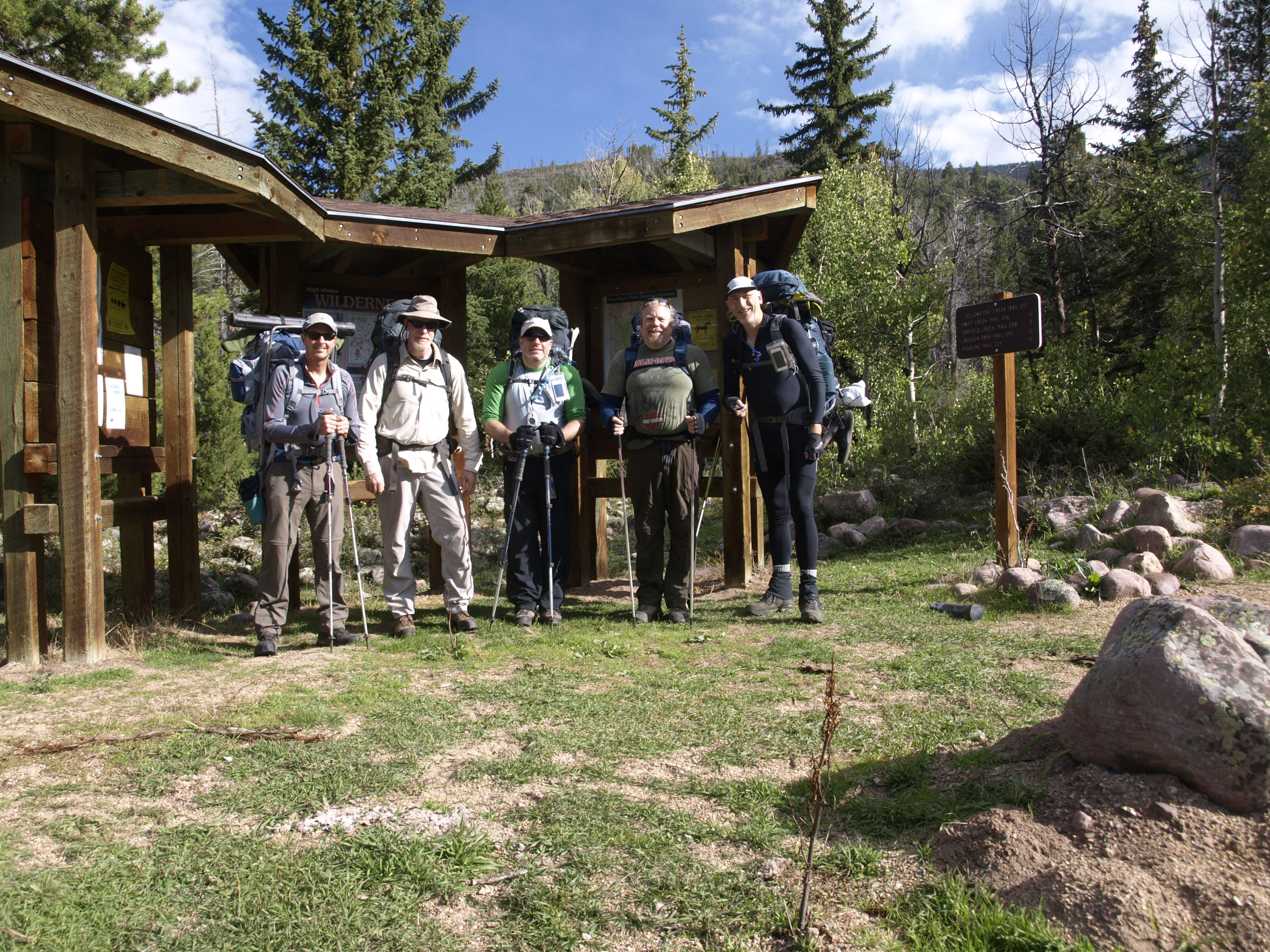
I didn’t start taking pictures until we were really ready to leave, so it simply appears like someone took care of all the morning chores in camp and all we had to do was lift our packs and go. Of course, that isn’t really how it works.
The camp is clean and the packs are packed. Larry and I were the first into camp, and the last to leave.
High Uintas Wilderness – Day 1 – A Well Planned Trip Never Goes As Planned
October 13, 2014 § Leave a comment
Full packs carrying everything we think we need with calculated duplicates (cat hole shovels, TP, pumps, etc), and starting out at 8400′ elevation. Destination is the trail junction up to the Garfield Creek Basin. The trail head sign says 9 miles, and the trail follows the Yellowstone Creek the whole way. It is important to keep in mind that this is a high basin that gets a lot of snow in the wInter, so the trail cannot follow the creek at its current water line. Therefore it meanders higher above the creek at times, so there are gains and losses, but in general we gain elevation the whole hike. 9400-9600′ is the final elevation for the day.
At The Trail Head
High Uintas Wilderness – Swift Creek Campground – Sept 12-13 2014
October 13, 2014 § Leave a comment
I first heard about the High Uintas thanks to my brother-in-law Walter Everetts, who after we did the Zion Wilderness in early May 2011, gave me an issue of Backpacker magazine that to him, was done. The title article was a story about a hike along the High-line Trail along the spine of the High Uintas in NE Utah, east of Park City. The Uintas are an E-W running sub-mountain range of the Rockies, and along with The Brooks Range in Alaska, are the highest EW mountain ranges in the country. I was going to say only EW, but I am having trouble corroborating that with matching Wikipedia source material.
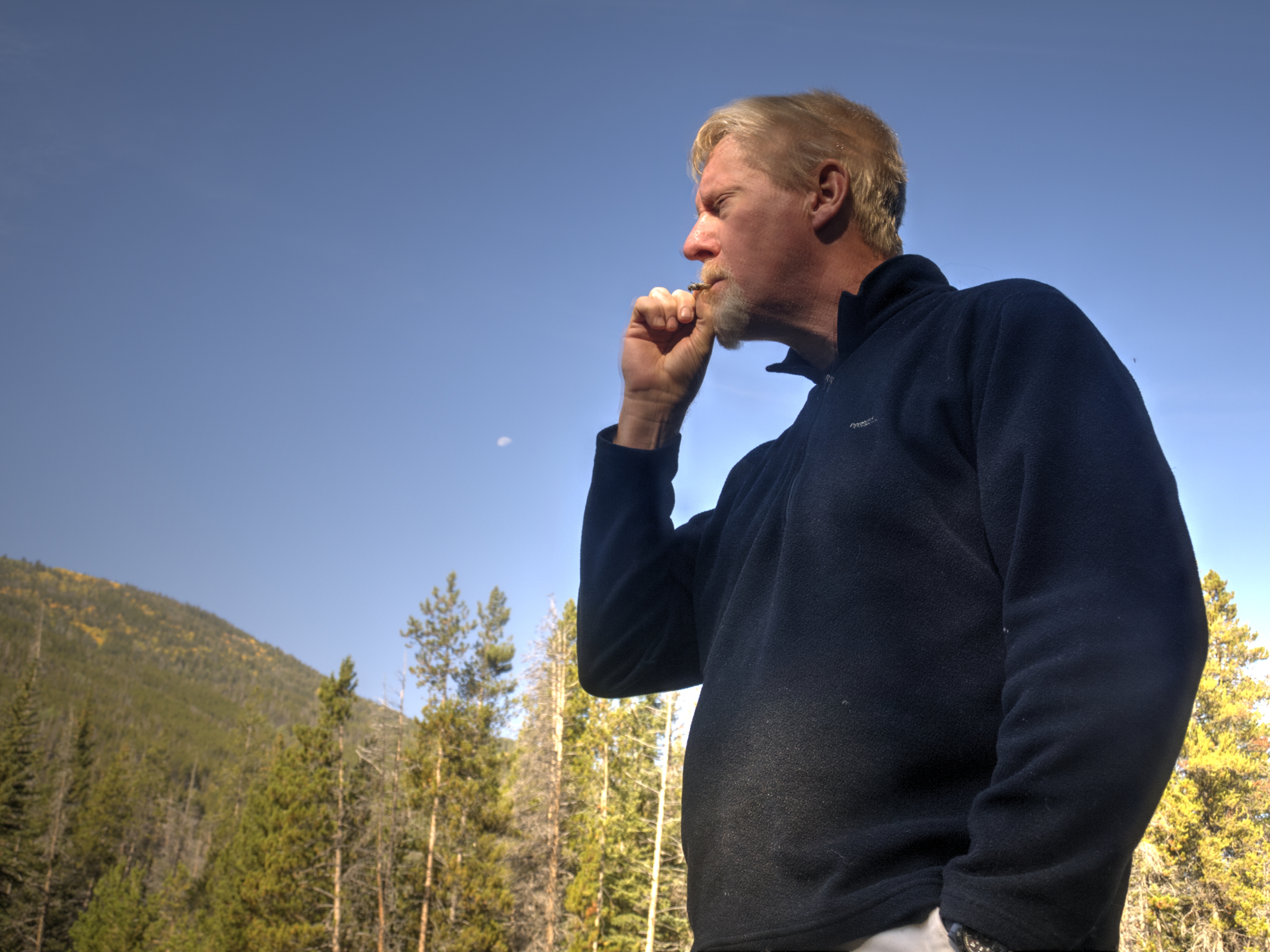
I know it doesn’t make sense some of it. Out here is the wilderness surrounded by nature, and we engage in vices. Here, both Greg and I brought fresh Bugler tobacco with rolling papers. It is so pleasing to roll a nice cigarette, light it, and enjoy it in such a surrounding.
Tuesday Night Hustle – The Night I Was a Nail
June 26, 2014 § Leave a comment
I first heard about the Tuesday Night Hustle last year on a Saturday Pronto ride. The Pronto rides are usually A level rides with some B+ riders, and depending on who shows, a few A+ and A++ level riders who are willing to put the hammer down every once in a while. It all depends on who shows up. In more cases than not, the Pronto Ride is not a hammer-fest. This essay is about The Tuesday Night Hustle, and not The Pronto Ride. In any case, I had heard about this ride that once it leaves the confines of Red Bank over the still-temporarily-structurally-standing Front Street bridge, it opens up into full-on-hold-on-for-dear-life and whatever you do, don’t get dropped.
NY AT #2
May 4, 2014 § Leave a comment

Foliage is coming back
Picking up where we last left off, you may recall that for our first AT section hike in NY, I might have set a goal that was too much for us. Extrapolating from hiking the Rocky Point trail in Hartshorne, to hiking the AT in NY is not really a linear calculation. I told a little lie and said we were doing 17 miles, but that did not include the 2 miles we had to hike to get to the AT in the first place! That also didn’t factor in just how strenuous the trail along the ridge to the west of Greenwood Lake actually turned out to be. Beautiful yes! But also a real nutsack smasher, unless of course you were Susie, and I am not going any further with this analogy.
NY AT #1
April 13, 2014 § Leave a comment
On The State Line Trail
One of my friends socialized a Thompson Park flyer which advertised several (many) shuttled hiking trips that would cover the entire AT in New York in small 6-8 mile chunks doable by most people in a single day. I said, “Well that is a lot of chunks! Who has that kind of time?” and I set about to design an equivalent set of hikes that could handle it in 5 chunks.
